
Quadrant SW Established 1956 Area 60 ha Population 784 (2006) | Ward 11 Annexed 1910 Elevation 1,075 m Local time Friday 10:41 AM Mayor Naheed Nenshi | |
 | ||
Weather 4°C, Wind S at 18 km/h, 44% Humidity | ||
Britannia is a residential neighbourhood in the south-west quadrant of Calgary, Alberta, Canada. It is bounded by Elbow Drive to the east, 50 Avenue S to the south, Elbow River and Riverdale Park to the west and Britannia Drive to the north.
Contents
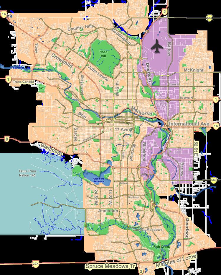
Map of Britannia, Calgary, AB, Canada
The area was annexed to the City of Calgary in 1910, and Britannia was established in 1956. Most of the development took place in the late 1950s. It is represented in the Calgary City Council by the Ward 11 councillors.
Demographics
In the City of Calgary's 2012 municipal census, Britannia had a population of 7002803000000000000♠803 living in 7002309000000000000♠309 dwellings, a 7.6% increase from its 2011 population of 7002746000000000000♠746. With a land area of 0.5 km2 (0.19 sq mi), it had a population density of 1,610/km2 (4,200/sq mi) in 2012.
Residents in this community had a median household income of $120,387 in 2000, and there were 7.9% low income residents living in the neighbourhood. As of 2000, 16.7% of the residents were immigrants. A proportion of 19.3% of the buildings were condominiums or apartments, and 19.3% of the housing was used for renting.