
Area 77.18 km² | Managing authorities | |
 | ||
Established 15 August 1973 (1973-08-15) Website Brisbane Ranges National Park Address Staughton Vale Rd, Staughton Vale VIC 3340, Australia Hours Open today · Open 24 hoursSaturdayOpen 24 hoursSundayOpen 24 hoursMondayOpen 24 hoursTuesdayOpen 24 hoursWednesdayOpen 24 hoursThursdayOpen 24 hoursFridayOpen 24 hours Similar Lower Glenelg National, Lerderderg State Park, You Yangs, Enfield State Park, Werribee Gorge State Park | ||
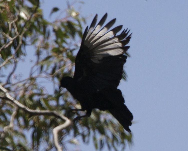
The Brisbane Ranges National Park is a national park in the Barwon South West region of Victoria, Australia, The 7,718-hectare (19,070-acre) national park is situated approximately 80 kilometres (50 mi) west of Melbourne near the town of Meredith and is managed by Parks Victoria. The park covers part of the Brisbane Ranges, an area of hills of moderate elevation.
Contents
Abseiling staughton vale cliff face in brisbane ranges national park
Features
The park features a number of walking tracks, of which the walk through Anakie Gorge is the most popular. Other attractions include the Ted Errey Nature Circuit and Wadawurrung walk. Relatively flat and suitable for those of moderate fitness, the walk features views of the Gorge itself and the presence of koalas and wallabies in their wild state. Some of the resident wallabies are relatively unafraid of tourists and may often study the passing visitors.
In January 2006, lightning sparked a bushfire in the Steiglitz historical area which soon spread throughout the Brisbane Ranges. Despite lengthy efforts to control the fire from Department of Sustainability and Environment, Parks Victoria and the Country Fire Authority fire fighters, the blaze incinerated 6,700 hectares (17,000 acres) of parkland and destroyed two houses without loss of human life. A subsequent bushfire one year later also threatened much of the national park.