
Population 267 (2011 census) Local time Friday 8:01 PM | Postcode(s) 2594 Postal code 2594 | |
 | ||
LGA(s) Weddin ShireHilltops Council Weather 24°C, Wind E at 26 km/h, 59% Humidity | ||
Bribbaree is a small village in the South West Slopes region of New South Wales, Australia spanning the boundary of Weddin Shire and Hilltops Council. At the 2006 census, Bribbaree and the surrounding area had a population of 267.
Contents
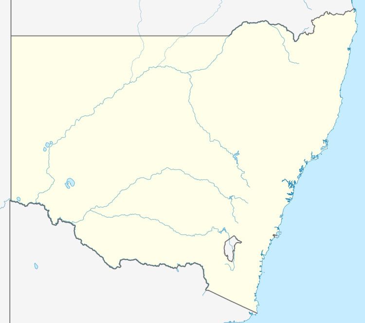
- Map of Bribbaree NSW 2594 Australia
- C510 c506 inner harbour to bribbaree 11th february 2017
- References
Map of Bribbaree NSW 2594, Australia
The Bribbaree show is held on Labour Day (first Monday in October) each year.
C510 c506 inner harbour to bribbaree 11th february 2017
References
Bribbaree Wikipedia(Text) CC BY-SA