
Ward 7 Elevation 1,115 m | Quadrant NW Established 1960 Population 6,255 (2006) | |
 | ||
Weather -1°C, Wind SW at 10 km/h, 60% Humidity Restaurants Jamesons Pub, Lazy Monkey, Kilkenny Irish Pub, Essence of Saigon Vietname, Coast To Coast Pizza | ||
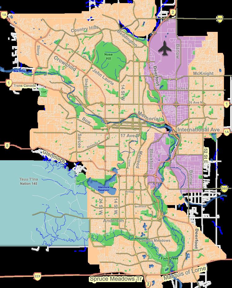
Brentwood is a neighbourhood in the north-west quadrant of Calgary, Alberta. It is bounded by John Laurie Boulevard to the north, Crowchild Trail to the south, Shaganappi Trail to the west, and Nose Hill Park to the east.
Contents
Map of Brentwood, Calgary, AB, Canada
Brentwood was established in 1960. It is represented in the Calgary City Council by the Ward 7 councillor.
It is served by the Brentwood station of the C-Train LRT system. The Northland Village shopping center is located in the western extremity of the neighbourhood.
Demographics
In the City of Calgary's 2012 municipal census, Brentwood had a population of 7003605900000000000♠6,059 living in 7003259500000000000♠2,595 dwellings, a 0.2% increase from its 2011 population of 7003604900000000000♠6,049. With a land area of 2.9 km2 (1.1 sq mi), it had a population density of 2,090/km2 (5,410/sq mi) in 2012.
Residents in this community had a median household income of $56,305 in 2000, and there were 14.3% low income residents living in the neighbourhood. As of 2000, 22.7% of the residents were immigrants. A proportion of 15.7% of the buildings were condominiums or apartments, and 27.3% were used for renting.
Education
The following schools are located in Brentwood:
The University of Calgary grounds border the community to the south-west, and the Southern Alberta Institute of Technology is also located close to the neighbourhood.