
Country United States County Spink Time zone Central (CST) (UTC-6) Elevation 396 m Local time Thursday 10:22 PM | Incorporated 1906 Area code(s) 605 Zip code 57429 Population 79 (2013) | |
 | ||
Weather -9°C, Wind S at 8 km/h, 77% Humidity | ||
Brentford is a town in Spink County, South Dakota, United States. The population was 77 at the 2010 census.
Contents
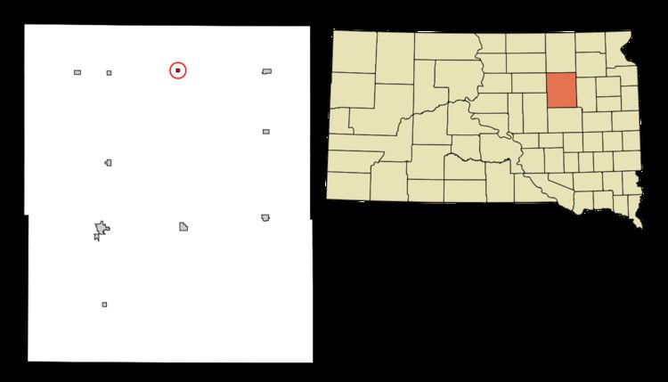
Map of Brentford, SD 57429, USA
History
The town took its name after Brentford, in England, the native home of a railroad official.
Geography
Brentford is located at 45°9′33″N 98°19′24″W (45.159216, -98.323267).
According to the United States Census Bureau, the town has a total area of 0.16 square miles (0.41 km2), all of it land.
Brentford has been assigned the ZIP code 57429, and the FIPS place code 07060.
2010 census
As of the census of 2010, there were 77 people, 30 households, and 19 families residing in the town. The population density was 481.3 inhabitants per square mile (185.8/km2). There were 33 housing units at an average density of 206.3 per square mile (79.7/km2). The racial makeup of the town was 98.7% White and 1.3% from two or more races.
There were 30 households of which 30.0% had children under the age of 18 living with them, 53.3% were married couples living together, 10.0% had a female householder with no husband present, and 36.7% were non-families. 23.3% of all households were made up of individuals and 6.7% had someone living alone who was 65 years of age or older. The average household size was 2.57 and the average family size was 3.00.
The median age in the town was 29.5 years. 27.3% of residents were under the age of 18; 10.4% were between the ages of 18 and 24; 24.7% were from 25 to 44; 26% were from 45 to 64; and 11.7% were 65 years of age or older. The gender makeup of the town was 42.9% male and 57.1% female.
2000 census
As of the census of 2000, there were 65 people, 28 households, and 18 families residing in the town. The population density was 393.4 people per square mile (147.6/km²). There were 29 housing units at an average density of 175.5 per square mile (65.9/km²). The racial makeup of the town was 98.46% White and 1.54% Native American.
There were 28 households out of which 35.7% had children under the age of 18 living with them, 57.1% were married couples living together, 3.6% had a female householder with no husband present, and 35.7% were non-families. 25.0% of all households were made up of individuals and 7.1% had someone living alone who was 65 years of age or older. The average household size was 2.32 and the average family size was 2.83.
In the town, the population was spread out with 26.2% under the age of 18, 7.7% from 18 to 24, 27.7% from 25 to 44, 24.6% from 45 to 64, and 13.8% who were 65 years of age or older. The median age was 36 years. For every 100 females there were 124.1 males. For every 100 females age 18 and over, there were 108.7 males.
The median income for a household in the town was $55,625, and the median income for a family was $64,375. Males had a median income of $37,500 versus $50,625 for females. The per capita income for the town was $21,921. There were no families and 11.3% of the population living below the poverty line, including no under eighteens and none of those over 64.