Girish Mahajan (Editor)

Brebières

Updated on
Edit
Like
Comment
Share on FacebookTweet on TwitterShare on LinkedInShare on Reddit
Country
  
France

Department
  
Pas-de-Calais

Intercommunality
  
Osartis

Area
  
10.8 km²

Arrondissement
  
Arras

Region
  
Hauts-de-France

Canton
  
Vitry-en-Artois

Population (2009)
  
4,910

Local time
  
Friday 2:17 AM

Brebières

Weather
  
4°C, Wind S at 10 km/h, 86% Humidity

Brebières is a commune in the Pas-de-Calais department in the Hauts-de-France region in northern France.

Contents

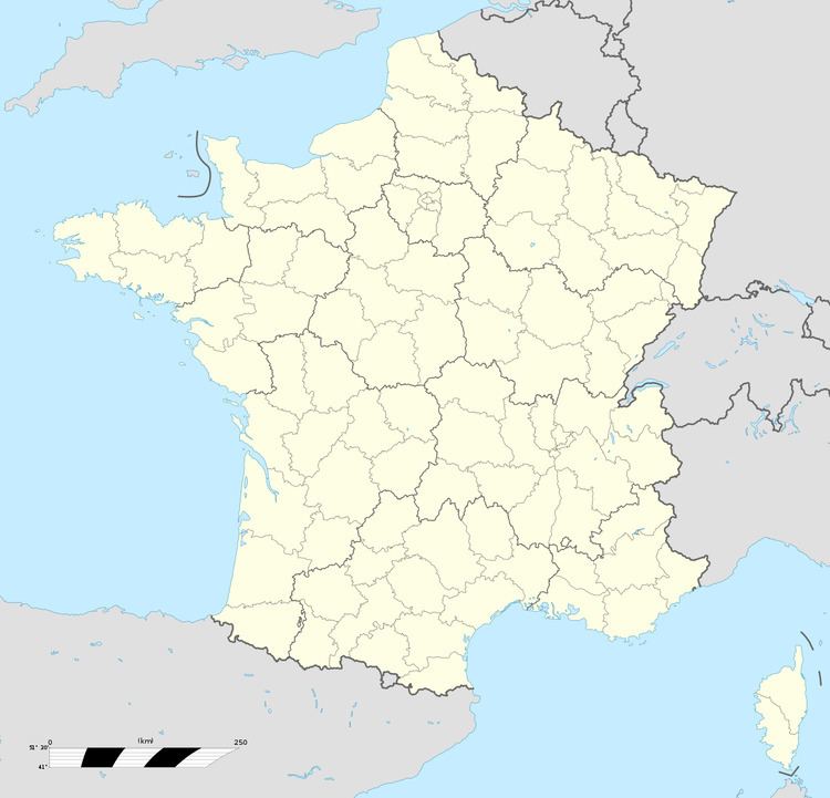
Map of 62117 Brebi%C3%A8res, France

Geography

A farming and light industrial town located 12 miles (19 km) east of Arras on the N50 road, at the junction with the D44 and D307, by the banks of the Scarpe river. A celebration of the potato takes place annually on the 1st Sunday in September.

History

  • Evidence of occupation from Merovingian times has been unearthed.
  • In 2008, during the creation of the 60 hectare Bèliers industrial zone, three important archaeological sites, once occupied by Gauls and Celts was discovered. Finds include the residue of iron smelting, glass beads, pottery and bones of both animals and humans.
  • Sights

  • The church of St. Vaast, dating from the twentieth century.
  • The château de La Bucquière.
  • References

    Brebières Wikipedia