
OS grid reference NB217353 Post town ISLE OF LEWIS Dialling code 01851 | Lieutenancy area Western Isles Sovereign state United Kingdom Local time Friday 12:40 AM | |
 | ||
Weather 1°C, Wind SW at 11 km/h, 93% Humidity | ||
Wild otters breasclete isle of lewis outer hebrides
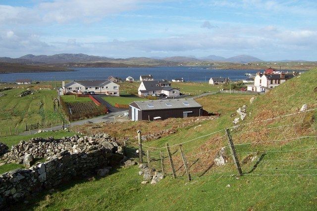
Breasclete (Scottish Gaelic: Brèascleit) is a village and community on the west side of the Isle of Lewis, in the Outer Hebrides, Scotland. Breasclete is within the parish of Uig, and is situated adjacent to the A858.
Contents
- Wild otters breasclete isle of lewis outer hebrides
- Map of Breasclete Isle of Lewis UK
- History
- Community
- Economy
- References
Map of Breasclete, Isle of Lewis, UK
History
Breasclete has several stone circles, as well as various cairns. The Bronze Age-era Olcote kerbed cairn, south of the settlement, was excavated in 1995 during road works, and the site seems to form part of a wider ceremonial complex. The local pier, situated west of the settlement, was built in the early 20th century, and has a quay of similar construction.
Community
One of the main services in the village is Breasclete Primary School, which has a current total of 27 students. There is a thriving community with the new Hall as the base for a number of community groups and organisations.
Economy
The village also hosts the Equatec facility, a pharmaceutical facility dedicated to fatty acid research and production, which has now been taken over by German giant BASF in June 2012.
Other businesses located in the area include Scottish Fish Farm who have a number of sites in East Loch Roag, and Hebridean Soap who operate from their base in Breasclete.
Traditional industries like Harris Tweed also offer employment, and crofting is at the heart of the community.