
Time zone CET (UTC+1) Local time Thursday 8:34 PM | Entity Republika Srpska Area 293.5 km² Area code 56 | |
 | ||
Website www.bratunacopstina.com Weather 9°C, Wind W at 2 km/h, 53% Humidity | ||
Bosnia bratunac serb refugees re bury their dead
Bratunac (Cyrillic: Братунац) is a town and municipality located in eastern Bosnia and Herzegovina. The easternmost point of Bosnia and Herzegovina is located in the municipality of Bratunac which lies in the entity Republika Srpska.
Contents
- Bosnia bratunac serb refugees re bury their dead
- Map of Bratunac Bosnia and Herzegovina
- Early history
- 1948
- Latest censuses
- References
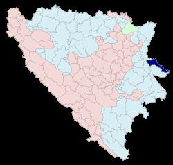
Map of Bratunac, Bosnia and Herzegovina
Early history
In 1381, the name Bratunac is mentioned for the first time because of the direct road through Bratunac from Bosnia and Herzegovina to Serbia. At the time, Bratunac was composed of five houses and a population of roughly 30 people. In 1927, Bratunac became a municipality for the first time.
1948
According to Columbia-Lippincott Gazetteer, in 1948 Bratunac had a population of 5,033.
Latest censuses
The ethnic composition of the municipality:
References
Bratunac Wikipedia(Text) CC BY-SA