
Population 1,248 (in 2011) Unitary authority Local time Thursday 7:32 PM | OS grid reference ST914523 Region South West Sovereign state United Kingdom Dialling code 01380 | |
 | ||
Weather 8°C, Wind S at 16 km/h, 74% Humidity | ||
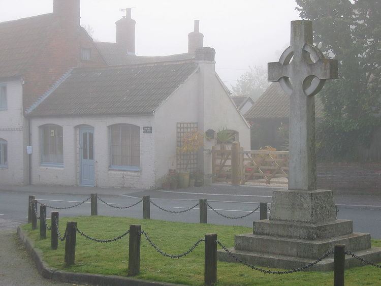
Part of court lane and bury lane bratton wiltshire
Bratton is a village and civil parish in the English county of Wiltshire, about 2.5 miles (4 km) east of Westbury. The village lies under the northern slope of Salisbury Plain, on the B3098 Westbury – Market Lavington road.
Contents
- Part of court lane and bury lane bratton wiltshire
- Map of Bratton UK
- History
- Religious sites
- Schools
- Landmarks
- Notable buildings
- Amenities
- Notable residents
- References
Map of Bratton, UK
History
The massive earthworks of the Iron Age hill fort known as Bratton Castle (or Bratton Camp) are within the parish.
Bratton was a tithing of the ancient parish of Westbury until 1894, when it became a separate civil parish.
The Stert and Westbury Railway was built across the parish in 1900. The local station was in the adjacent parish of Edington and was called Edington & Bratton; the station closed to passengers in 1952 and to goods in 1963, but the line remains open as part of the Reading to Taunton Line.
Religious sites
The Church of England parish church of St James has 14th-century origins and may be on the site of an earlier church. It was rebuilt in the 15th century; the chancel was rebuilt in 1854 by G.G. Scott, with further restoration by T.H. Wyatt in 1860. The church is Grade II* listed.
A Baptist chapel was built in 1734, enlarged in the 1780s and again in the next century, with the addition of a schoolroom. Pevsner describes the chapel as "externally a gem" and it is Grade II* listed. As of 2016 the chapel is still in use.
A Methodist chapel was built in 1870 and closed in 1952; the building was demolished in 1957.
Schools
A National School was built at Bratton in 1846 and enlarged in 1877. Also around 1846, a British School was established. In 1928 both schools closed and their pupils moved to a newly-built council school, which became Bratton Primary School and was extended in 1982.
Landmarks
Roughly a mile west of Bratton is a former Lafarge Cement factory, which was reduced to a distribution site in 2009. The factory had a 400 feet (120 m) tall chimney, which was demolished in September 2016.
Notable buildings
The Court House (15th and 17th centuries) and Bratton House (1715 and 1826) are Grade II* listed.
Amenities
The village has a Post Office and village shop, a village hall and a pub, The Duke.
Bratton Downs is a biological and geological Site of Special Scientific Interest.