
Time zone WAT (UTC+1) ISO 3166 code NG.BY.BR Local time Thursday 7:52 PM | 3-digit postal code prefix 562 Area 1,404 km² | |
 | ||
Weather 27°C, Wind SW at 8 km/h, 83% Humidity | ||
Brass is a Local Government Area in Bayelsa State, Nigeria. Its headquarters are in the town of Twon-Brass on Brass Island along the coast. It has a coastline of approximately 90 km on the Bight of Bonny. Much of the area of the LGA is occupied by the Edumanom National Forest.
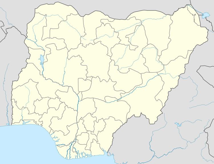
Map of Brass, Nigeria
It has an area of 1,404 km² and a population of 185,049 at the 2006 census.
The postal code of the area is 562.
References
Brass, Nigeria Wikipedia(Text) CC BY-SA