
Population 673 (2011 census) Postcode(s) 2324 Founded 1986 Local time Friday 4:06 AM | Established 1986 Time zone AEST (UTC+10) Area 6.5 km² Postal code 2324 | |
 | ||
Location 175 km (109 mi) N of Sydney36 km (22 mi) NNW of Newcastle10.7 km (7 mi) NW of Raymond Terrace20 km (12 mi) NW of Maitland Weather 19°C, Wind S at 2 km/h, 97% Humidity | ||
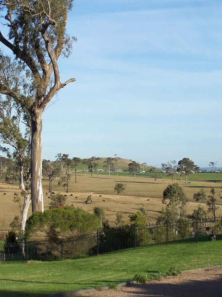
Brandy Hill is a suburb of the Port Stephens local government area in the Hunter Region of New South Wales, Australia. It was originally farmland but was subdivided in the 1980s and now supports a population of almost 700 people living on large, primarily residential, blocks. It overlooks working farmland and offers superb views of the greater Morpeth area, with visibility extending to Maitland.
Contents
Map of Brandy Hill NSW 2324, Australia
Geography
Brandy Hill is primarily an elevated suburb, with the residential area approximately 20–40 m (66–131 ft) above sea level. To the north and east the suburb is bordered by Seaham, while to the south and west the suburb is surrounded by the Hunter River flodplains in Nelsons Plains, Wallalong and Seaham.
History
Like neighbouring Seaham, the area now known as Brandy Hill was once inhabited by the Garewagal clan of the Worimi people. During the nineteenth and twentieth centuries, Brandy Hill was part of the "Eskdale" estate and was then part of Seaham. The foundations of colonial homes have been unearthed around Neika Close, suggesting Europeans have been living in the Brandy Hill area since at least the late-nineteenth century. Before the construction of the Maitland Junction to Dungog branch of the North Coast Line, a railway through Morpeth and Seaham was proposed. Although the line would have posed fewer engineering obstacles than the two alternatives, there were concerns that a bridge at Morpeth would hinder shipping and that a railway through Brandy Hill was superfluous on account of it servicing only "wallabies and bandicoots [living on] land [that is] unfit for the support of any other kind of population".
Just north of Brandy Hill is the Brandy Hill quarry, which is named after the nearby hill that is approximately 180 metres (591 ft) high. Travelling between the quarry and Raymond Terrace meant travelling a circuitous route through the Seaham township so Brandy Hill Drive was constructed to provide a shorter and more direct route.
Subdivision and suburb
In the 1980s the land around Brandy Hill Drive was subdivided and renamed "Brandy Hill", after the hill, which is more than 2 kilometres (1.2 mi) from the northern extremity of the suburb and still in Seaham, and the quarry. Brandy Hill Drive continues to be used as an access route to the quarry, which is now operated by Hanson plc.
On 16 April 1993 the boundaries of Brandy Hill were gazetted and on 7 April 2000 the subdivision was formerly approved as a locality and became a suburb in its own right. The suburb is almost surrounded by Seaham.
Architecture
Development in Brandy Hill coincided with the return to the use of decorative architectural features, which characterise the building boom of the 1980s. As a result, Brandy Hill offers many examples of Postmodern architecture. Common are allusions to Federation architecture, the use of latticework, glass brick, columns and bullnose verandahs. Unlike the "mega-villa" homes of the period, which sought to occupy as much of the site as possible, homes in Brandy Hill are set on acreages, allowing for additional features such as gardens.