
Population 324 (2011 census) Time zone AEST (UTC+10) Elevation 2 m Local time Friday 9:51 AM | Postcode(s) 2324 Area 19.8 km² Postal code 2324 | |
 | ||
Location 173 km (107 mi) N of Sydney34 km (21 mi) NNW of Newcastle0 km (0 mi) W-N of Raymond Terrace Weather 19°C, Wind SW at 8 km/h, 95% Humidity | ||
Nelsons Plains is a primarily rural suburb of the Port Stephens local government area in the Hunter Region of New South Wales, Australia. It is situated on Seaham Road between the Hunter and Williams rivers. At the 2011 census the suburb had a population of 324.
Contents
Map of Nelsons Plains NSW 2324, Australia
Geography
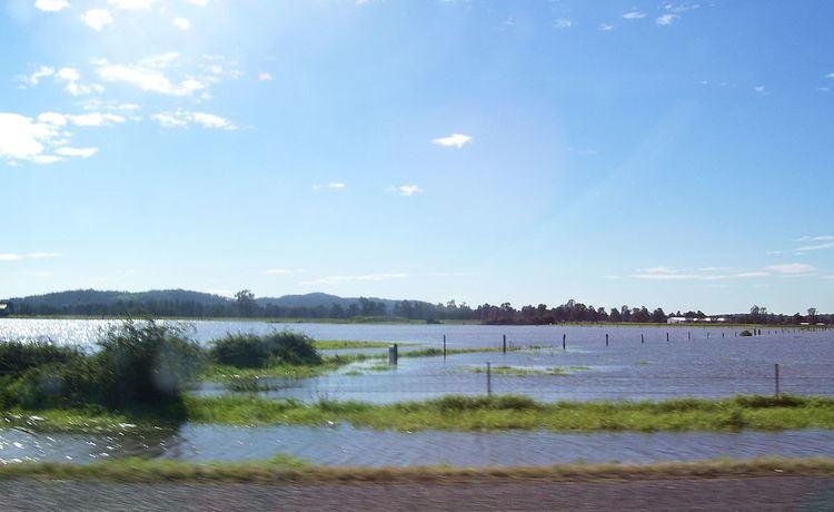
Nelsons Plains is a wedge-shaped suburb, bisected by Seaham Road, with the point of the wedge in the south-eastern corner where the Williams River joins the Hunter River. This part of the suburb is generally less than 2 metres (7 ft) above river level, making it subject to periodic flooding, as happened during the June 2007 Hunter Region and Central Coast storms. In the north-eastern corner of the suburb elevations reach up to 42 m (138 ft) but to the east of Seaham Road, between the road and the Williams River, the ground slopes quickly downward to a height of less than 2 m (7 ft) above river level, making this part of the suburb also subject to flooding.