
Country United States FIPS code 19-08155 Elevation 252 m Zip code 52210 Local time Thursday 10:52 AM | Time zone Central (CST) (UTC-6) GNIS feature ID 0454806 Area 83 ha Population 304 (2013) Area code 319 | |
 | ||
Weather -1°C, Wind NW at 13 km/h, 63% Humidity | ||
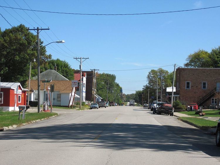
Brandon is a city in Buchanan County, Iowa, United States. The population was 309 at the 2010 census.
Contents
Map of Brandon, IA 52210, USA
Geography
Brandon is located at 42°18′51″N 92°0′15″W (42.314216, -92.004126).
According to the United States Census Bureau, the city has a total area of 0.32 square miles (0.83 km2), all of it land.
2010 census
As of the census of 2010, there were 309 people, 130 households, and 82 families residing in the city. The population density was 965.6 inhabitants per square mile (372.8/km2). There were 152 housing units at an average density of 475.0 per square mile (183.4/km2). The racial makeup of the city was 95.8% White, 0.3% African American, 1.3% Native American, 0.3% Pacific Islander, 1.0% from other races, and 1.3% from two or more races. Hispanic or Latino of any race were 5.2% of the population.
There were 130 households of which 35.4% had children under the age of 18 living with them, 43.8% were married couples living together, 13.1% had a female householder with no husband present, 6.2% had a male householder with no wife present, and 36.9% were non-families. 30.0% of all households were made up of individuals and 13.9% had someone living alone who was 65 years of age or older. The average household size was 2.38 and the average family size was 2.95.
The median age in the city was 36.1 years. 26.5% of residents were under the age of 18; 8.8% were between the ages of 18 and 24; 24.5% were from 25 to 44; 25.9% were from 45 to 64; and 14.2% were 65 years of age or older. The gender makeup of the city was 48.9% male and 51.1% female.
2000 census
As of the census of 2000, there were 311 people, 137 households, and 90 families residing in the city. The population density was 997.9 people per square mile (387.3/km²). There were 146 housing units at an average density of 468.5 per square mile (181.8/km²). The racial makeup of the city was 99.04% White and 0.96% Native American.
There were 137 households out of which 26.3% had children under the age of 18 living with them, 49.6% were married couples living together, 10.2% had a female householder with no husband present, and 33.6% were non-families. 30.7% of all households were made up of individuals and 13.1% had someone living alone who was 65 years of age or older. The average household size was 2.27 and the average family size was 2.79.
In the city, the population was spread out with 21.5% under the age of 18, 10.0% from 18 to 24, 24.4% from 25 to 44, 27.0% from 45 to 64, and 17.0% who were 65 years of age or older. The median age was 38 years. For every 100 females there were 100.6 males. For every 100 females age 18 and over, there were 105.0 males.
The median income for a household in the city was $34,219, and the median income for a family was $45,893. Males had a median income of $25,625 versus $20,208 for females. The per capita income for the city was $17,428. About 4.5% of families and 9.4% of the population were below the poverty line, including 13.0% of those under age 18 and 15.1% of those age 65 or over.
Roadside attraction
Brandon is home to an unusual roadside attraction. Iowa's Largest Frying Pan is located in the town. Constructed in 2001, the frying pan promotes the Brandon Community Club's semi-annual Cowboy Breakfast. The pan weighs over 1,000 pounds.