
Vehicle registration KU Area 130.2 km² Population 1,544 (1 Apr 2009) Area code 05331 | Time zone CET (UTC+1) Elevation 919 m Local time Thursday 5:18 PM Postal code 6234 | |
 | ||
Website www.brandenberg.tirol.gv.at Weather 6°C, Wind S at 6 km/h, 52% Humidity | ||
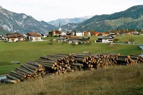
Brandenberg is a municipality in the Austrian state of Tyrol in the district Kufstein. It consists of the Brandenberg village and the Aschau locality (German: Ortsteil).
Map of 6234 Brandenberg, Austria
Brandenberg was first mentioned in 1140, and became an independent municipality in the beginning of the 19th century. The municipality is located in the valley of the Brandenberger Ache river, a tributary of the Inn River. To the north, it shares a border with Germany. Neighbouring Austrian and German municipalities are Achenkirch, Breitenbach am Inn, Kramsach, Kreuth, Rottach-Egern, Steinberg am Rofan, and Thiersee.
A local specialty is the Prügeltorte cake.
References
Brandenberg Wikipedia(Text) CC BY-SA