
County Perry ZIP code 47514 Elevation 132 m | State Indiana GNIS feature ID 450702 Local time Thursday 9:48 AM | |
 | ||
Weather 6°C, Wind NW at 23 km/h, 55% Humidity | ||
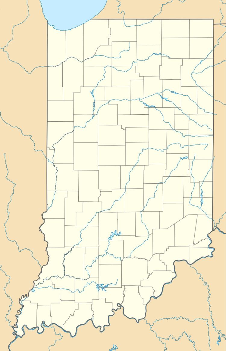
Branchville (also Oil Creek) is an unincorporated community in southern Oil Township, Perry County, Indiana, United States. It lies along CR40 northeast of the city of Tell City, the county seat of Perry County. Its elevation is 433 feet (132 m), and it is located at 38°9′49″N 86°34′47″W (38.1636715, -86.5797058). Although Branchville is unincorporated, it has a post office, with the ZIP code of 47514.
Contents
Map of Branchville, IN 47514, USA
History
Branchville was platted in 1874. The community derives its name from a nearby branch of Oil Creek.
References
Branchville, Indiana Wikipedia(Text) CC BY-SA