
Population 8,194 Civil parish Bramley | OS grid reference SK487937 Local time Thursday 3:04 PM | |
 | ||
Weather 9°C, Wind W at 34 km/h, 59% Humidity | ||
Bramley is a village and civil parish of the Metropolitan Borough of Rotherham in South Yorkshire, England.
Contents
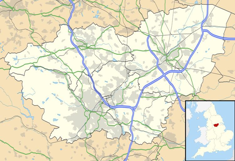
Map of Bramley, UK
The village is situated approximately 4 miles (6 km) from central Rotherham and 8 miles (13 km) from Sheffield city centre, both to the west south-west.
Bramley is bordered by the urban development of Sunnyside conjoined to the village of Wickersley to the south, and the village of Ravenfield to the north. To the east, beyond Junction 1 of the M18, are the civil parishes of Hellaby and Maltby.
Community
According to the 2001 census the parish had a population of 8,194.
Bramley shops and services include a Morrisons, the Hotel Ibis, McDonald's and a Bannatynes Gym on a development next to the M18 Motorway. Across the dual carriageway, on the site of a previous Little Chef, is a development with a Dominos Pizza and Carphone Warehouse. In Bramley village there is a Betfred betting shop, a Spar supermarket, takeaways, a computer shop, an off licence, flower shop, hair salon, bakery and a fishing tackle shop.
Bramley public houses are the Master Brewer, Sir Jack's, the Traveller's and the King Henry (Sizzling Pub, previously known as the Sportsman and Ball Inn). The two village hotels are the Stonecroft Hotel and the Hotel Ibis.
There are no secondary schools in Bramley. Pupils aged 11–18 mostly attend nearby Wickersley School and Sports College which is situated in Wickersley on its border with Bramley. Other pupils also attend Maltby School or Thrybergh School, while others attend St Bernard's Catholic High School, Rotherham.
Buses through Bramley from Rotherham run to Maltby, Ravenfield, Mexborough, Hooton Levitt and Dinnington.