
Time zone IST (UTC+5:30) Elevation 74 m ISO 3166 code ISO 3166-2:IN | 2011 census code 551642 Population 871 (2011) | |
 | ||
Backyard poultry project bramhanwadi tal satara
Bramhanwadi is a village in the Palghar district of Maharashtra, India. It is located in the Dahanu taluka.
Contents
- Backyard poultry project bramhanwadi tal satara
- Map of Bramhanwadi Maharashtra 401610
- Demographics
- References
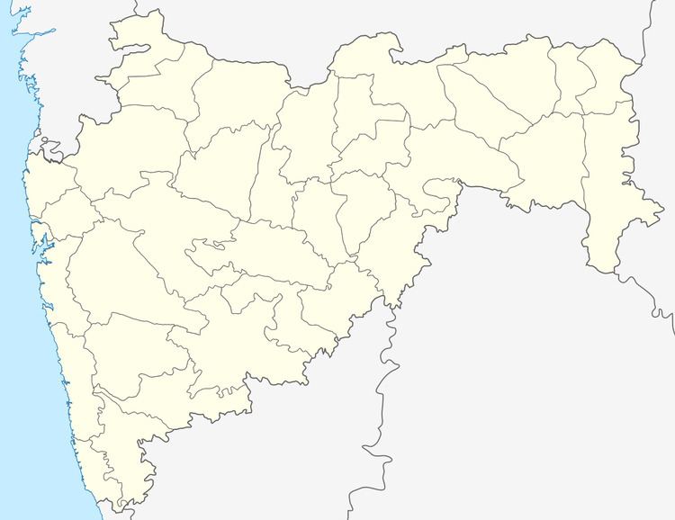
Map of Bramhanwadi, Maharashtra 401610
Demographics
According to the 2011 census of India, Bramhanwadi has 158 households. The effective literacy rate (i.e. the literacy rate of population excluding children aged 6 and below) is 43.71%.
References
Bramhanwadi Wikipedia(Text) CC BY-SA