
Population (2001) Sovereign state United Kingdom Dialling code 01455 | OS grid reference SP403886 Post town NUNEATON | |
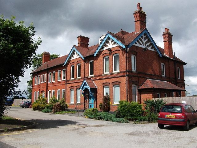 | ||
Bramcote is a village in the Nuneaton and Bedworth district of Warwickshire in England. It is located just south of the B4114 road and adjacent to the M69 motorway. The population in 2001 was 321, which included the hamlet of Bramcote Mains a quarter of a mile to the south, and 214 armed services personnel at the nearby Gamecock Barracks (formerly RAF Bramcote). Bramcote Waters Golf Course lies to the east and Bramcote NHS Hospital to the north. Population details for the 2011 Census can be found under Wolvey.
Map of Bramcote, Nuneaton, UK
References
Bramcote, Warwickshire Wikipedia(Text) CC BY-SA