
Population 7,270 (Ward. 2011) Post town NOTTINGHAM Dialling code 0115 | Sovereign state United Kingdom Postcode district NG9 Local time Thursday 2:55 PM | |
 | ||
Weather 9°C, Wind W at 24 km/h, 58% Humidity University St John's School of Mission | ||
Heritage open days in bramcote
Bramcote is a settlement in the Broxtowe district of Nottinghamshire, about five miles west of Nottingham. It was a separate village but is now a suburb of Greater Nottingham. Originally one of the main roads between the cities of Nottingham and Derby (about 15 miles apart) passed through the village centre. Nowadays the main Nottingham – Derby road (the A52) – called the Brian Clough Way in honour of the late football manager who brought success to both Derby County and Nottingham Forest passes a little to the north of the village centre, partially cutting the centre from the Bramcote Hills part of the village. The original road snakes through the old centre entering a steep-sided cutting just south of the centre, forming a blind bend known as 'Devils Bend'.
Contents
- Heritage open days in bramcote
- Map of Bramcote Nottingham UK
- Demography
- Schools
- Leisure centre
- Historical Landmarks
- Churches
- Parks and open spaces
- References
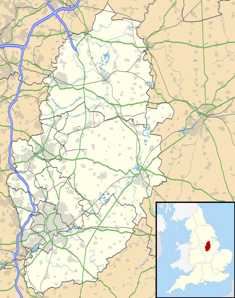
Map of Bramcote, Nottingham, UK
Until the 1960s there was a country house estate on the north side of the village, but this has passed into public ownership. The house was demolished in 1968 and its grounds became a public park now known as 'Bramcote Hills Park'. This includes grassed parkland and wooded hillside. Nearby places are Beeston, Wollaton, Chilwell and Stapleford. Bramcote is part of the Borough of Broxtowe, and votes for the Broxtowe constituency. Until 1974 it was part of Beeston and Stapleford Urban District, having been in Stapleford Rural District until 1935. More information may be found at Bramcote Today: official village website and community blog
Demography
The population of Bramcote is 9,270 with the average household having 2.30 people. The Broxtowe Ward population measured at the Census 2011 showed a population of 7,270.
The White British percent is 82.7% with 17.3% of the people from 41 different countries with the majority from India, Pakistan, Bangladesh, Sri Lanka, China, Jamaica, Barbados, Poland, Italy, Holland, Greece, Russia and Australia
60.7% of the people of Bramcote consider themselves to be Christian with 3.6% considered to be Muslim, 2.8% are Hindu and 2.5% are followers of Sikhism. 22.6% of the people state that they follow no religion.
Schools
There are four local schools namely;
In the village centre there is also a primary school, a pre-school nursery and a large recreational park, King George's Park, on its west side on the slopes of a hill with views out over the Erewash valley to the north and west. St John's College, Nottingham is a Church of England theological college situated in Bramcote on the southern edge.
There used to be a second comprehensive school in Bramcote, Bramcote Hills Sport & Community College [2], but this was recently found unsafe and demolished. Local school children were moved into the nearby Bramcote Park and Alderman White schools. The building has now been refurbished and is now the site of Bramcote Hills College Sixth Form.
In 2009, Bramcote Park Sports, Business & Enterprise School, Bramcote Hills College Sixth Form and Alderman White School joined together to form the White Hills Park Federation of Schools. Year 10 & 11 students are able to travel across sites to take part in cross federation lessons. They travel via school minibus.
Leisure centre
Bramcote Leisure Centre is located in Bramcote Park, just off the A52. It contains a 33m pool with waterslide (which was recently divided into a 25m pool and family splash pool), a teaching pool, a gym (currently being extended), junior gym, 5-a-side pitch (Home of the majorly successful local team the Bramcote Beers), health suite and creche [3]. The centre achieved Quest Accreditation in March 2008, [4] and in November 2008 was the first centre in Nottinghamshire to achieve the Aquamark, the ASA National Award Scheme for swimming programme quality [5] The Vitality fitness suite has recently had a £250k renovation, refurbishment and extension project completed, the poolside changing rooms have also been updated. The refurbishment programme was carried out by GPS construction (Nottingham) Ltd and overseen by Adam Smith (managing director).
Historical Landmarks
Churches
Saint Michael and All Angels Parish Church is the local Anglican (Church of England website) church of Bramcote, and is situated on Church Street in Bramcote. In addition to a regular pattern of Sunday services at 9:00 am, 10:45 am and 6:30 pm, Saint Michaels's runs a comprehensive programme of spiritual and social activities for all ages; including Children and Young Peoples groups, Homegroups, Cafe Bramcote, Christian Basics Courses, Marriage Preparation and Enrichment courses and various other groups designed to provide a comprehensive level of pastoral care within the local community. Saint Michael's was built in 1861 and celebrated its 150th anniversary year in 2011. Its churchyard contains the war graves of three soldiers of World War I and one of World War II. It was built to replace the old church (off Town Street) of which only the churchyard and tower now remain, as the other sections of the building were knocked down and the bricks used for building the new church. The old church is now also known as the Sunken Church.
Bramcote Methodist Church is on Chapel Street, Bramcote.
Emmanuel Church is an independent Evangelical church that meets in the Bramcote Hills Sport & Community College [6] on Sunday mornings (1030) during the summer months and Sunday afternoons (1530) during the winter months. There is also a programme for youth and children, a men's breakfast group, prayer groups and house groups.
Parks and open spaces
Bramcote Park is the biggest of the parks in Bramcote. With an extensive wooded area stretching from Bramcote Park School towards Stapleford, Wollaton and the former landfill site. The park is one of the few sites in Nottingham with a Green Flag Award. The park itself features an extensive children's playground, car park, easy access paths and a family friendly atmosphere.
King George's Park offers great views across Bramcote. It is on a steeply sloping site with a network of surfaced paths providing a link to the adjacent countryside. There are two free to use tennis courts in the park as well as a children's playground and several parking spaces.
Bramcote Ridge Open Space is an area of approximately 12 hectares (29 acres), consisting of a mosaic of acid grassland, naturally regenerating scrub and mature woodland. It is managed as a nature reserve, and is a designated Grade II SINC, (Site Important for Nature Conservation), and an 'Area of Restricted Development'. It is surrounded on three sides by residential development. There is no designated car parking area, but it can be accessed on foot from surrounding residential roads.