
Population 16,799 (2011 census) Postcode(s) 4017 Postal code 4017 | Established 1960s State electorate(s) SandgateAspley Area 8.4 km² | |
 | ||
Location 19 km (12 mi) from Brisbane CBD | ||
Bracken Ridge is a northern suburb of Brisbane, the capital city of Queensland, Australia. Its local government area is the City of Brisbane, in which it has its own ward.
Contents
- Map of Bracken Ridge QLD 4017 Australia
- Location
- Demographics
- Politics
- Landmarks
- Heritage listings
- References
Map of Bracken Ridge QLD 4017, Australia
Location
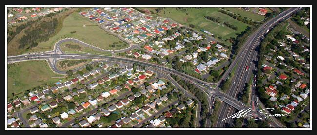
The suburb is located about 18 kilometres (11 mi) north of the Brisbane central business district. The southern border is formed by Telegraph Road, one of the oldest roads in the suburb, and a portion of the western border is formed by the Caboolture railway line. A number of housing estates are located within the suburb, including The Oaks, Enbrook Heights and the most recent development Sungate Estate.
The terrain in the suburb is, as the name suggests, generally hilly. The highest area of the suburb features a park and a reservoir; from this height it is quite easy to see Moreton Bay to the east and the CBD to the south.
Bracken Ridge is home to a variety of persons on the socio-economic scale. The majority of residents are professional couples and families. The estates south of Barbour Road, the homes surrounding the "ridge" and St Joseph's church, the areas on top of the hills, "Enbrook Heights Estate" and the most recent development "Sungate Estate" are affluent. The average price for a home in the suburb was $460,000 in 2012. 86% of these homes are owner-occupied or in the process of being purchased.
Demographics
In the 2011 census, Bracken Ridge recorded a population of 16,799 people, 51.2% female and 48.8% male.
The median age of the Bracken Ridge population was 35 years of age, 2 years below the Australian median.
74.6% of people living in Bracken Ridge were born in Australia. The other top responses for country of birth were New Zealand 4.7%, England 3.8%, Philippines 2.2%, India 1.3%, Fiji 0.8%.
85.6% of people spoke only English at home; the next most popular languages were 1% Tagalog, 0.9% Hindi, 0.8% Filipino, 0.5% Cantonese, 0.5% Samoan.
Politics
Landmarks
There are a number of schools and educational institutions in the suburb:
Shopping strips are located in Gawain Road and Barrett Street. A more substantial shopping centre is located on the corner of Telegraph Road and Norris Road. There is also a small shopping centre near the Bracken Ridge Tavern incorporating a Woolworths, chemist and a newsagent on Barrett St. There is a pub (The Bracken Ridge Tavern which incorporates 'Phoenix') on the corner of Barrett and Denham Streets, and a sports centre located on Bracken Ridge Road. There is also a local Council Library located on the Corner of Barrett St and Bracken St, next to Ferguson Park.
Bracken Ridge is also home to Bracken Ridge District Cricket Club based at McPherson Park, with McPherson also being the homeground of the Bracken Ridge Little Athletics Club "Roadrunners".
Bracken Ridge has an Indoor Sports Centre and also has a netball club "Ridgettes" who are a part of the Brisbane Netball Association on Rode Road in Chermside.
There is a large number of parks in the suburb, including Enbrook Parkland and the Bill Brown Sports Reserve on Telegraph Road, Bracken Ridge Reservoir, Ferguson Park and Stanley Day Park. There are also a number of churches present, including the Catholic, Baptist, and Uniting Church denominations. An Islamic community centre lies just across the border in Bald Hills.
Heritage listings
Bracken Ridge has a few heritage-listed sites, including: