
Population 244 (2011) Civil parish Bracewell and Brogden Local time Friday 6:33 PM UK parliament constituency Pendle | OS grid reference SD860484 Sovereign state United Kingdom Dialling code 01282 | |
 | ||
Weather 5°C, Wind E at 24 km/h, 94% Humidity | ||
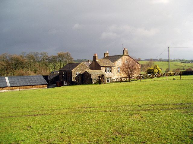
Bracewell and Brogden is a civil parish in the West Craven area of the Borough of Pendle in Lancashire, England. According to the 2001 census it had a population of 238, increasing slightly to 244 at the 2011 Census. The parish includes Bracewell (at grid reference SD863485) and Brogden (at SD858472, historically both were in the West Riding of Yorkshire.
Contents
Map of Bracewell and Brogden, UK
Toponymy
Bracewell: from a personal name, either Braegd or Breiđ, + 'well' = 'spring or stream': hence, 'Braegd's/Breiđ's spring or stream'
Brogden: 'The valley of the brook'.
History
The old Roman road from Ribchester to Ilkley passes through the parish, with the remains of a 4th-century Romano-British farmstead known as Bomber Camp located next to the boundary with Gisburn.
References
Bracewell and Brogden Wikipedia(Text) CC BY-SA