
Intercommunality Pays de Brocéliande Area 33.82 km² | Canton Plélan-le-Grand Population (2008) 4,841 Local time Sunday 5:18 AM | |
 | ||
Weather 7°C, Wind S at 21 km/h, 92% Humidity | ||
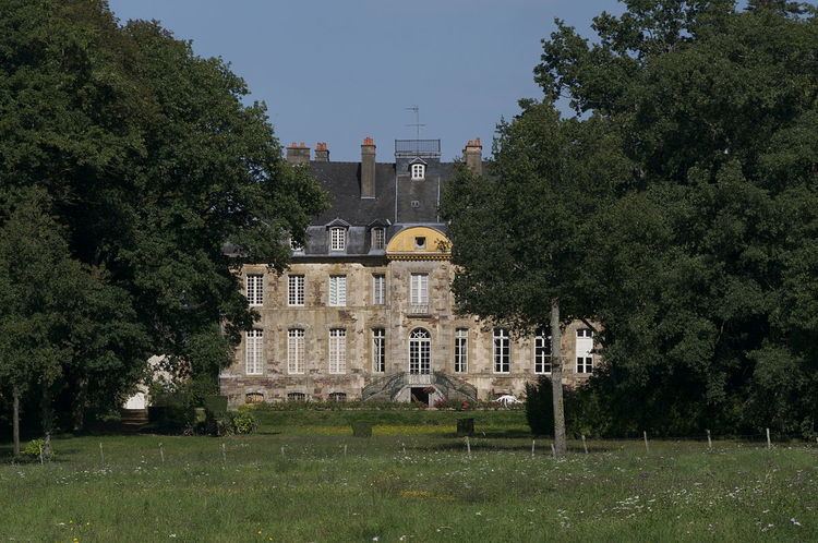
Bréal-sous-Montfort (Breton: Breal-Moñforzh) is a commune in the Ille-et-Vilaine department in the region in Brittany in northwestern France.
Contents
Map of 35310 Br%C3%A9al-sous-Montfort, France
It is located in the outer southwest district of Rennes, near the Broceliand woods.
Geography
The Meu forms the commune's northeastern border.
Population
Inhabitants of Bréal-sous-Montfort are called Bréalais in French.
References
Bréal-sous-Montfort Wikipedia(Text) CC BY-SA