Airport type Public use 18/36 1,770 | Owner Gayle High Elevation AMSL 710 ft / 216 m Phone +1 574-583-5566 | |
 | ||
Address 4828 W 1200 N, Burnettsville, IN 47926, USA Similar White County Airport‑K, Logansp County Airport, Flora Municipal Airport | ||
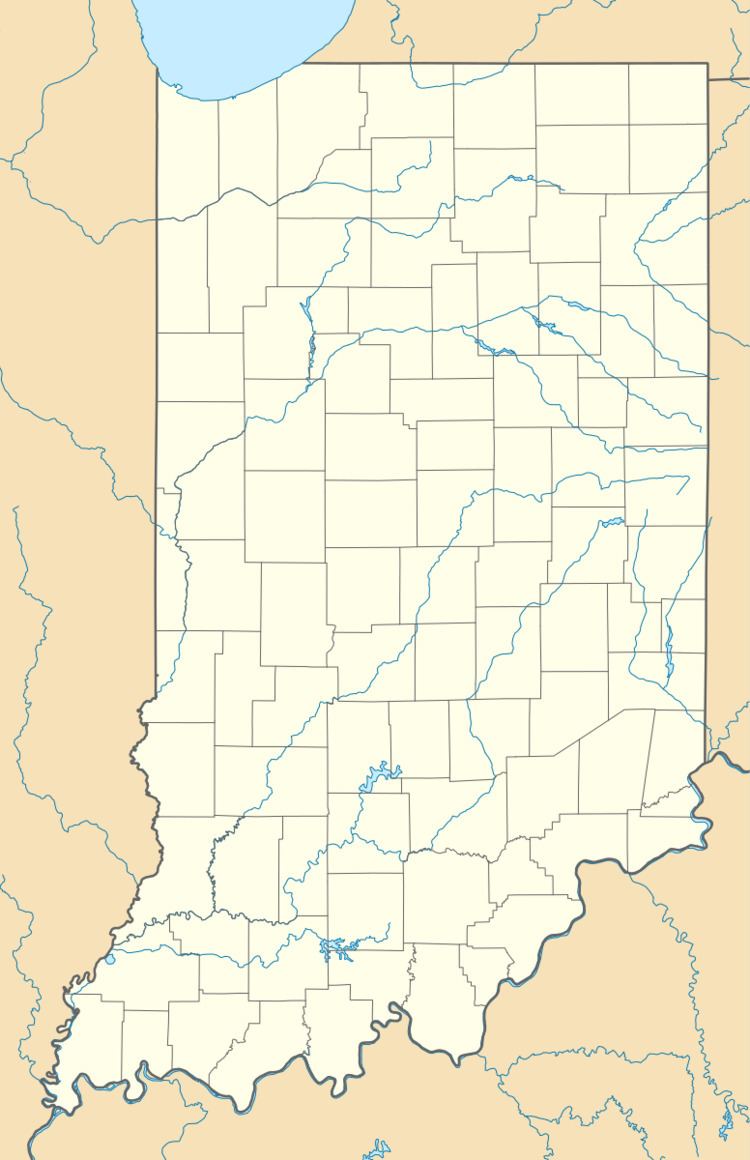
Boyer Flight Park (FAA LID: 7W7) is a public use ultralight airport in Carroll County, Indiana, United States. It is located four nautical miles (7 km) southwest of the central business district of Burnettsville, a town in White County.
Facilities and aircraft
Boyer Flight Park covers an area of 7 acres (3 ha) at an elevation of 710 feet (216 m) above mean sea level. It has one runway designated 18/36 with a turf surface measuring 1,770 by 120 feet (539 x 37 m).
For the 12-month period ending December 31, 2010, the airport had 218 general aviation aircraft operations, an average of 18 per month. There are two ultralight aircraft based at this airport.
References
Boyer Flight Park Wikipedia(Text) CC BY-SA
