
Country United States ZIP codes 37876 Elevation 274 m | Time zone Eastern (EST) (UTC-5) GNIS feature ID 1314721 Local time Friday 11:02 AM | |
 | ||
Weather 6°C, Wind W at 16 km/h, 42% Humidity | ||
Boyds Creek is an unincorporated community in Sevier County, Tennessee, United States. It is named for a small southward-flowing tributary of the French Broad River of the same name, which itself derives its name from a Virginian trader, killed by a band of Cherokee Indians, whose body was thrown into the stream. The creek was the site of a 1780 battle (The Battle of Boyd's Creek) between white settlers and Cherokee angry at the settlers' encroachment onto their hunting territory.
Contents
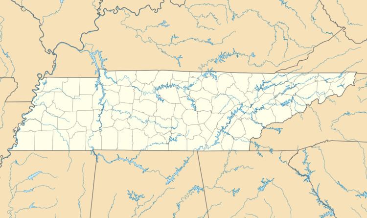
Map of Boyds Creek, Tennessee 37876, USA
Geography
The community has a mean elevation of 899 feet (274 metres).
References
Boyds Creek, Tennessee Wikipedia(Text) CC BY-SA