
Population 178 (2011) Unitary authority Local time Friday 12:44 PM | OS grid reference NT995415 Sovereign state United Kingdom | |
 | ||
Weather 6°C, Wind NE at 16 km/h, 88% Humidity | ||
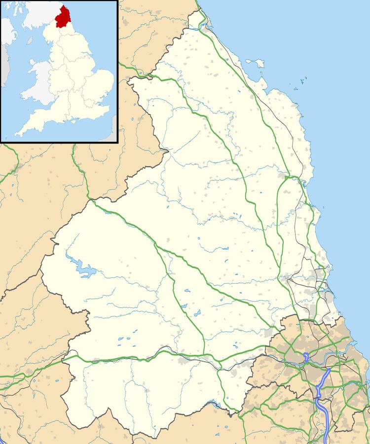
Bowsden is a village and civil parish in Northumberland, England. It is about 6 miles (10 km) to the south of Berwick-upon-Tweed, inland from the North Sea coast at Lindisfarne, and has a population of 157, rising to 178 at the 2011 Census.
Contents
Map of Bowsden, UK
Landmarks
The Devil's Causeway passes the village about 1 mile (2 km) to the east. The causeway is a Roman road which starts at Port Gate on Hadrian's Wall, north of Corbridge, and extends 55 miles (89 km) northwards across Northumberland to the mouth of the River Tweed at Berwick-upon-Tweed.
References
Bowsden Wikipedia(Text) CC BY-SA