
Postcode(s) 5374 Local time Friday 9:47 PM | Postal code 5374 | |
 | ||
Location 130 km (81 mi) NW of Adelaide75 km (47 mi) E of Waikerie27 km (17 mi) W of Eudunda LGA(s) Regional Council of GoyderMid Murray Council Weather 25°C, Wind SE at 13 km/h, 43% Humidity | ||
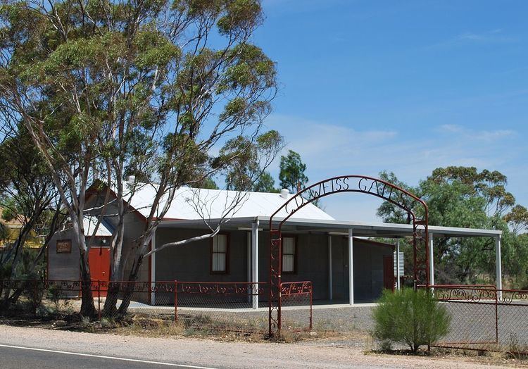
Bower is a town in South Australia, approximately halfway between Eudunda and Morgan on the Thiele Highway.
Map of Bower SA 5374, Australia
The area was originally the territory of the Ngadjuri people. The name Bower honours David Bower, a South Australian Member of Parliament (1865 - 1887) who donated land in the state for institutional purposes. By 1916, Bower had become a dispatch centre for mallee timber and roots. These were loaded at the railway station on the Morgan railway line and sent to Adelaide. Bower Public School operated in the town between 1917 and 1960, replacing an earlier Lutheran school forcibly closed during World War I.
The historic Lime Kiln Ruins on Bower Boundary Road are listed on the South Australian Heritage Register.
References
Bower, South Australia Wikipedia(Text) CC BY-SA