
Population 362 (2011 census) Postcode(s) 4404 Postal code 4404 | Established 1890 (approx.) Local time Friday 9:14 PM | |
 | ||
LGA(s) Toowoomba Regional Council Weather 26°C, Wind E at 23 km/h, 65% Humidity | ||
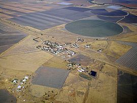
Bowenville is a town in the Toowoomba Regional Council local government area in Queensland, Australia. The town's economy rested on the rail industry and with the winding down of the railways the population declined. At the 2011 census, Bowenville had a population of 362.
Contents
Map of Bowenville QLD 4404, Australia
Just north of the Warrego Highway east of Dalby, Bowenville has the basic requirements for the traveller, including fuel, a post office, barbecues, a hotel and public telephone. It is a short drive from two major tourist attractions in the region, the historic Jondaryan Woolshed and the Acland Coal Mine.
History
Bowenville Post Office opened by June 1908 (a receiving office had been open from 1878).
Facilities
Library services in Bowenville are provided by the Toowoomba Regional Council's mobile library service. The van visits Bowenville State School on the 2nd and 4th Tuesday of each month.
The Bowenville Reserve (Wainu), situated along the Oakey Creek, provides a free camping area with access to non-potable water and toilet facilities. There are also picnic areas, bins, shelters, tables, and a playground. Shore fishing, small water craft, and electric motors are permitted.