
Country Algeria Elevation 756 m (2,480 ft) Area 111.7 km² | Time zone WAT (UTC+1) Local time Friday 3:44 AM | |
 | ||
Weather 9°C, Wind SW at 8 km/h, 55% Humidity | ||
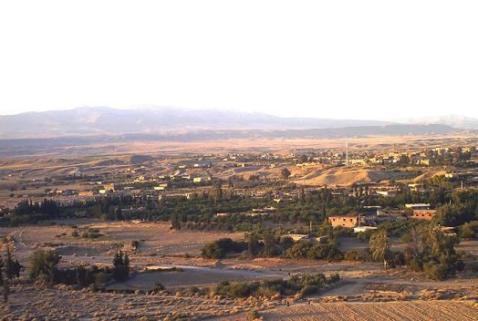
Boumagueur (Arabic: بومقر, Berber: ⴱⵓⵎⴰⴳⴻⵔ) is a town in northeast of Algeria. Area of the town is 111.69 km2, 8482 people live there, density of population is 75.95/km2.
Contents
Map of Boumagueur, Algeria
The climate prevailing in this region is very dry and hot, summer extends up to six months, there is cold and rainy winter, which range from 15 days to 20 days.
Localities of the town
The town of Boumagueur consists of 11 localities.:
Borders
Languages
All of the inhabitants can speak Shawia.
References
Boumagueur Wikipedia(Text) CC BY-SA