
Population (2008) 1,379 Area 32.71 km² | Canton Léré Time zone CET (UTC+1) Local time Friday 3:31 AM | |
 | ||
Weather 6°C, Wind SE at 10 km/h, 82% Humidity | ||
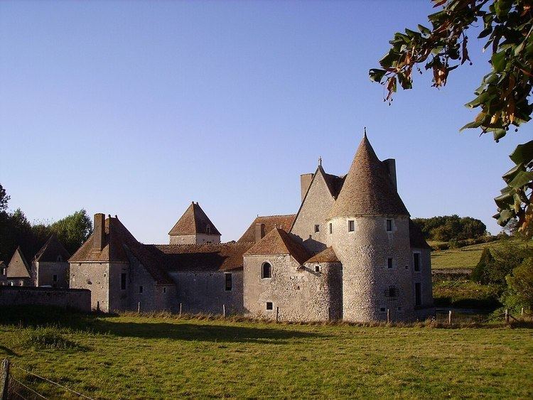
Boulleret is a commune in the Cher department in the Centre region of France.
Contents
Map of 18240 Boulleret, France
Geography
An area of lakes and streams, forestry and farming, comprising the village and three hamlets situated in the Loire valley some 31 miles (50 km) northeast of Bourges at the junction of the D751 with the D153 and D13 roads.
Sights
References
Boulleret Wikipedia(Text) CC BY-SA