
 | ||
Location | ||
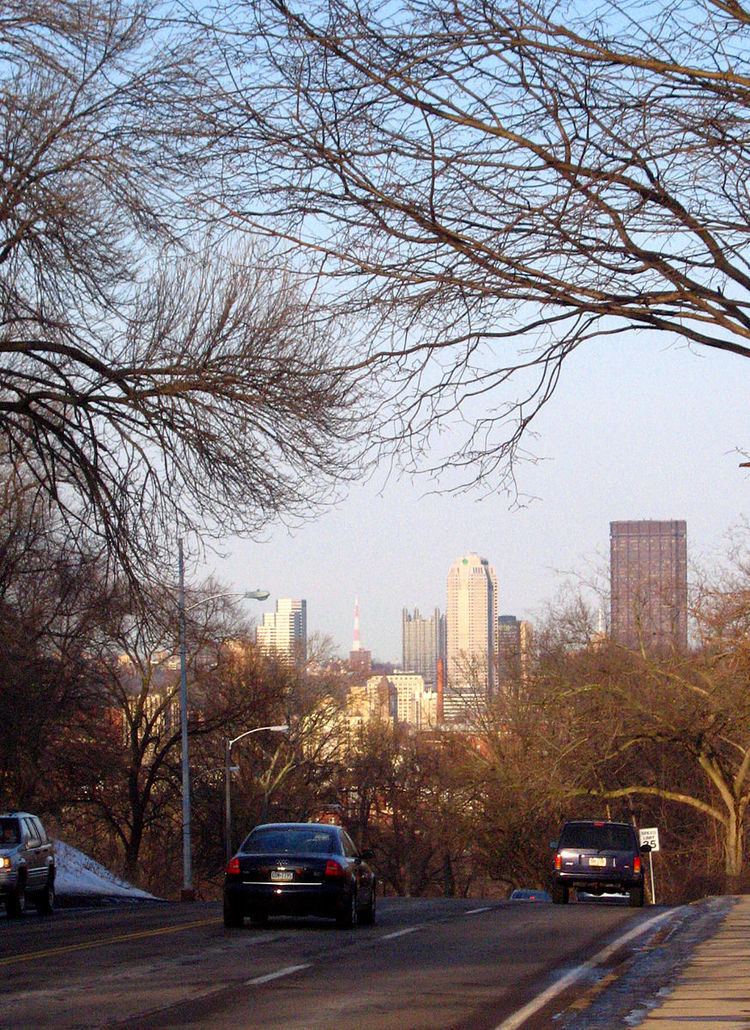
The Boulevard of the Allies is a mostly four-lane road in the U.S. state of Pennsylvania, connecting Downtown Pittsburgh with the Oakland neighborhood of the city. Because of its lengthy name, locals often refer to it as simply "The Boulevard".
Contents
Map of Boulevard of the Allies, Pittsburgh, PA, USA
Some sections are part of Pennsylvania Route 885. The road begins in Downtown Pittsburgh at its intersection with Commonwealth Place and an offramp from Interstate 279. The road continues east through Downtown passing Point Park University and the Art Institute of Pittsburgh to Grant Street where it becomes elevated to transition from the flat plain of Downtown to the bluff that Oakland sits on. Before reaching Oakland, it passes by Duquesne University and Mercy Hospital along the edge of a cliff several hundred feet above the Monongahela River with spectacular views of the city's South Side neighborhood and includes partial interchanges with Interstate 579 and Interstate 376. Upon reaching Oakland, it cuts through the southern portion of the neighborhood and leads into Schenley Park just bypassing the University of Pittsburgh and Carnegie Mellon University. Upon entering the park across the Anderson Bridge, the road's name changes to Panther Hollow Road (named after Panther Hollow) and continues through the park to become Hobart Street in the Squirrel Hill neighborhood east of Schenley Park.
The road is named in honor of the Allies of World War I. The Boulevard of the Allies was rededicated on June 29, 2008 as part of the celebration of Pittsburgh's 250th anniversary. As part of the rededication, American flags have been added on both sides of the boulevard as it elevates toward the Liberty Bridge ramp and thirty temporary banners celebrating the Allies of World War I have been affixed, following the road to its end.
History
Second Avenue was widened to a width of 70 feet (20 m) from Liberty Avenue east to Grant Street in 1920 and 1921. Planning began at about that time for the Boulevard, extending east from Second Avenue and Grant Street to Oakland. The first part of the Boulevard of the Allies was dedicated on August 8, 1921, and the entire highway opened to traffic on October 2, 1923, including several viaducts and widenings of the existing Emily Street to a terminus at Wilmot Street and Forbes Avenue. One of the first interconnected traffic signal systems was installed a month later (November 13) on the Boulevard downtown as an experiment. Prior to completion, its cost was reported as $1.6 million per mile, the most expensive road in the world at the time. In 1924, the Boulevard became part of an alternate bypass route of the Lincoln Highway, whose original route used Bigelow Boulevard into downtown; this left the Boulevard at Forbes Avenue (its original terminus), following Beeler Street, Wilkins Avenue, and Dallas Avenue to the main route on Penn Avenue near East Liberty. The Boulevard at Grant Street was once home to Pittsburgh's Chinatown until the 1950s.
U.S. Route 22 and U.S. Route 30 were designated along the William Penn and Lincoln Highways through Pittsburgh in 1926; the Boulevard of the Allies bypass alignment was chosen for both routes. The portion of the road east from Forbes Avenue to Bates Street, still known as Wilmot Street, became a part of Pennsylvania Route 885 by 1940. With the completion of the Penn-Lincoln Parkway East in the late 1950s, US 22 and US 30 were moved off the Boulevard, and PA 885 was extended west a short distance to the interchange near the Birmingham Bridge. The construction of I-579 in the early 1960s cut the path of westbound Boulevard traffic into downtown; eventually the PA 885 designation was continued west to this interchange.