
- elevation 3,888 ft (1,185 m) | - elevation 325 ft (99 m) Country United States of America | |
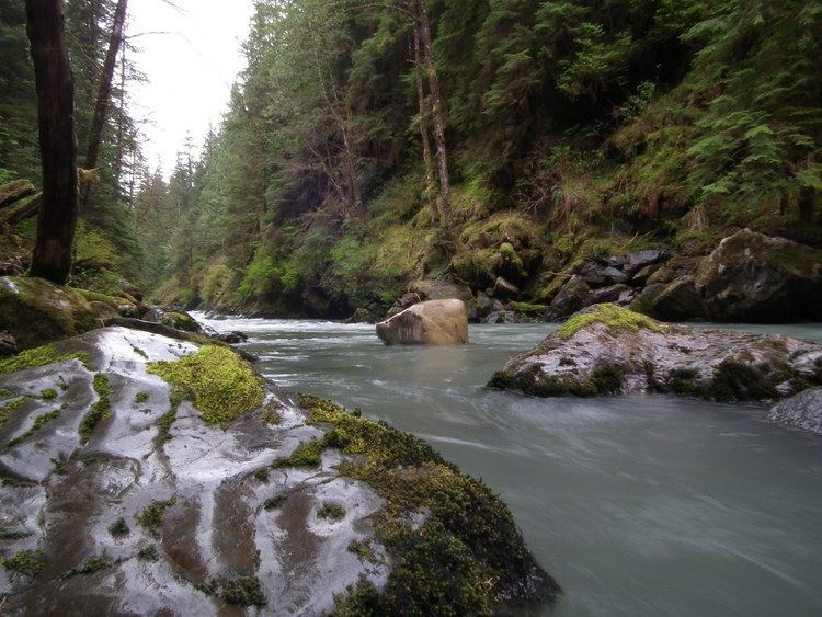 | ||
The Boulder River is a river in the U.S. state of Washington.
Contents
Map of Boulder River, Washington, USA
CourseEdit
The Boulder River originates in the Cascade Range. It flows northwest and then northeast through a portion of Boulder River Wilderness to join the Stillaguamish River. The Stillaguamish empties into Port Susan, part of Puget Sound. The river's source is the Craig Lakes, two remote lakes located high on the slopes of Three Fingers. After exiting the lakes the river plunges over Craig Lakes Falls as it descends into the Boulder River Wilderness.
The river flows northwest from there and just as it is turning northeast it tumbles over very bouldery Boulder Falls. The river also flows over one more waterfall, Half Mile Falls, before the river makes its final push toward its confluence with the North Fork Stillaguamish River.