
Population 409 (2011) | Local time Friday 1:49 AM | |
 | ||
Weather 6°C, Wind SE at 10 km/h, 97% Humidity | ||
Bouladuff (Irish: An Bhuaile Dhubh), also known as Inch and The Ragg, is a village near Thurles in County Tipperary, Ireland. According to the CSO census of 2011, the population is 409 a reduction of 43 people since the previous Census in 2006. It is in the barony of Eliogarty.
Contents
Map of Bouladuff, Co. Tipperary, Ireland
Location and access
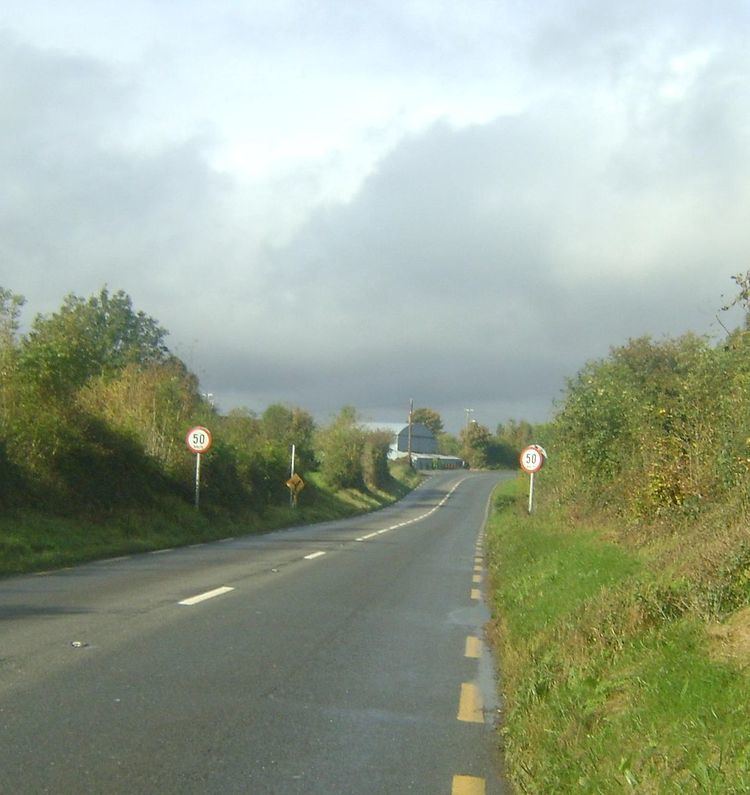
It lies 5 miles from Thurles and 3 miles from Borrisoleigh. The village is set in the Suir valley and bounded by the Silvermine Mountains to the northwest and the Slieveardagh hills to the Southeast. The main road is the R498 regional road from Nenagh to Thurles. The area around Bouladuff is rich and varied in scenery with views of the Devils Bit and Tower mountains.
Amenities
References
Bouladuff Wikipedia(Text) CC BY-SA