
Maintained by the City of St. Albert West end Ray Gibbon Drive Province Alberta | Location St. Albert Length 8.7 km | |
 | ||
Major
junctions Ray Gibbon Drive, Hogan Road, St. Albert Trail, Bellerose Drive, Sir Winston Churchill Avenue, Hebert Road, Campbell Road East end Veness Road (142 Street) | ||
Giroux Road and Boudreau Road are arterial roads in St. Albert, Alberta, Canada. Like all arteries of St. Albert, it does not run straight, has no street number, and mostly runs through residential.
Contents
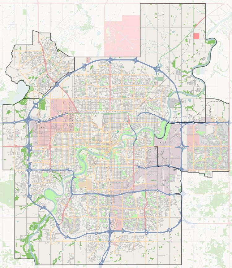
Map of Giroux Rd, St Albert, AB, Canada
Neighbourhoods
List of neighbourhoods Giroux / Boudreau Road runs through, in order from west to east.
Interchanges and intersections
This is a list of major intersections, starting at the west end of Giroux / Boudreau Road.
References
Boudreau Road Wikipedia(Text) CC BY-SA