Country France Canton Auxi-le-Château Area 9.23 km² | Intercommunality Région de Frévent Local time Friday 1:51 AM | |
 | ||
Weather 4°C, Wind SE at 10 km/h, 83% Humidity | ||
2016 gala de danse du s d l boubers sur canche
Boubers-sur-Canche is a commune in the Pas-de-Calais department in the Hauts-de-France region in northern France.
Contents
- 2016 gala de danse du s d l boubers sur canche
- Map of 62270 Boubers sur Canche France
- Boubers sur canche et fressin
- Geography
- Sights
- References
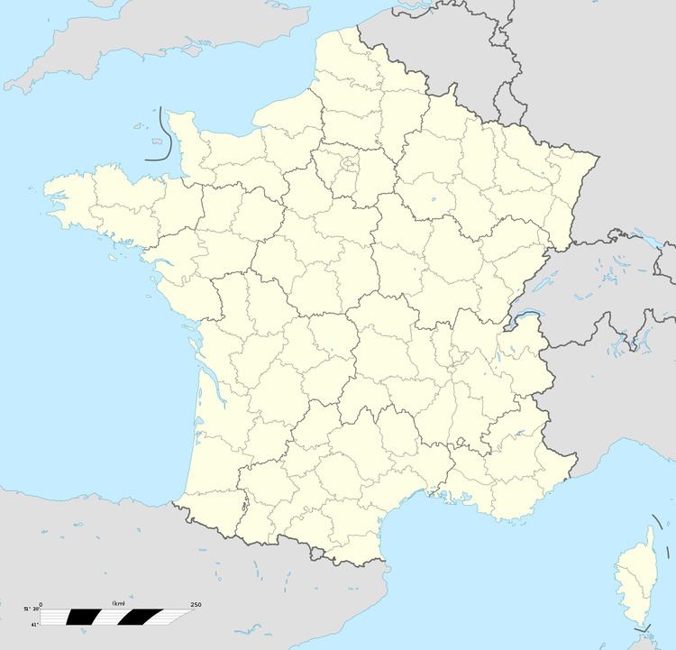
Map of 62270 Boubers-sur-Canche, France
Boubers sur canche et fressin
Geography
A farming village located 24 miles (38 km) west of Arras at the junction of the D112 and D340 roads, by the banks of the river Canche. The village wins national and international prizes for its flower display.
Sights
References
Boubers-sur-Canche Wikipedia(Text) CC BY-SA
