Trisha Shetty (Editor)

Botany Downs

Updated on
Edit
Like
Comment
Share on FacebookTweet on TwitterShare on LinkedInShare on Reddit
Population
  
4,830 (2006)

Southeast
  
Northpark

Northeast
  
Howick

Local authority
  
Auckland Council

North
  
Howick

Southwest
  
Golflands

Electoral ward
  
Howick

Botany Downs aotwpds3amazonawscomimagesbotanydownsjpg

Northwest
  
Highland Park, New Zealand

Botany Downs is a suburb of Auckland, New Zealand. This residential area was previously part of the East Tamaki area. According to the 2006 census, Botany Downs has a population of 4830, having grown 2.7% since 2001. It has one of the country's biggest shopping malls - Botany Town Centre. The suburb is in the Howick ward, one of the thirteen administrative divisions of Auckland City. Since 2008, a general electorate, Botany, carries the name of the suburb.

Contents

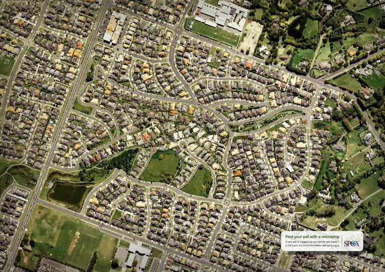
Map of Botany Downs, Auckland, New Zealand

Education

  • Sancta Maria College is a coeducational secondary (years 7-13) school integrated with the state system, with a decile rating of 8 and a roll of 854.
  • Elim Christian College is a coeducational Christian school with students from new entrants to Year 13 that is integrated with the state system, it has a decile rating of 9 and a roll of 550 with first stages of roll growth beginning in 2011.
  • Botany Downs Secondary College is a coeducational secondary (years 9-13) public school, with a decile rating of 10 and a roll of 1835.
  • Willowbank Primary School (years 1-6)
  • Botany Downs Primary School.
  • Point View School is a coeducational state contributing Primary School (years 1-6) with a decile rating of 10 and a roll of 778.
  • References

    Botany Downs Wikipedia