Suvarna Garge (Editor)

Botala

Updated on
Edit
Like
Comment
Share on FacebookTweet on TwitterShare on LinkedInShare on Reddit
Country
  
Pakistan

District
  
Khushab District

Region
  
Punjab Province

Time zone
  
PST (UTC+5)
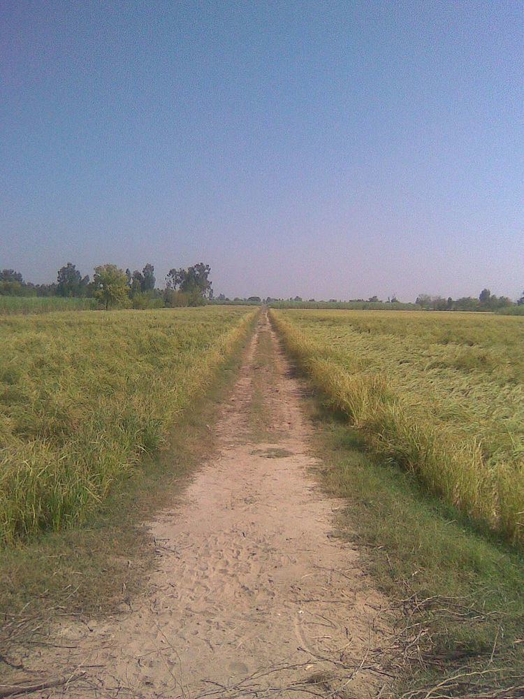
Botala

Botala (Urdu: بوتالہ ‎), is a village and one of the 51 Union Councils of Khushab District in the Punjab Province of Pakistan. It is situated 3.5 km south from the main Mianwali-Lahore road. It is about 12 kilometers distance from district headquarters Jauahrabad and 60 kilometers from divisional headquarters Sargodha.

Contents

Map of Botala, Pakistan

Areas

  • Area:Total area is near about 10,000 acres (40 km2).
  • Sub Areas: Pindi, Jhugi manday wali, Handan wala, Balkian aala boad.Neher pul jabbi
  • Different parts of the agricultural areas of the village: Tapian, Gada maar, Jhugi manday wali, Hadan wala, shero, Kamoon,
  • Population

    Population is about 18,000.

    Geography

    The lands of the village are fertile with 98% irrigated areas and 2% desert.

    Economy

  • Crops: The major crops of botala are sugarcane, rice, wheat,etc.
  • Canal and irrigation system: There are 5 major canals in the lands of Botala. Hundreds of water courses are lying there.
  • Deserts: The great Thal Desert starts from Botala and its native town Hadali as well.
  • References

    Botala Wikipedia