Country India | ||
 | ||
Website | ||
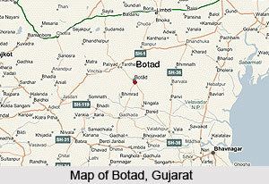
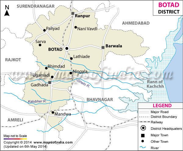
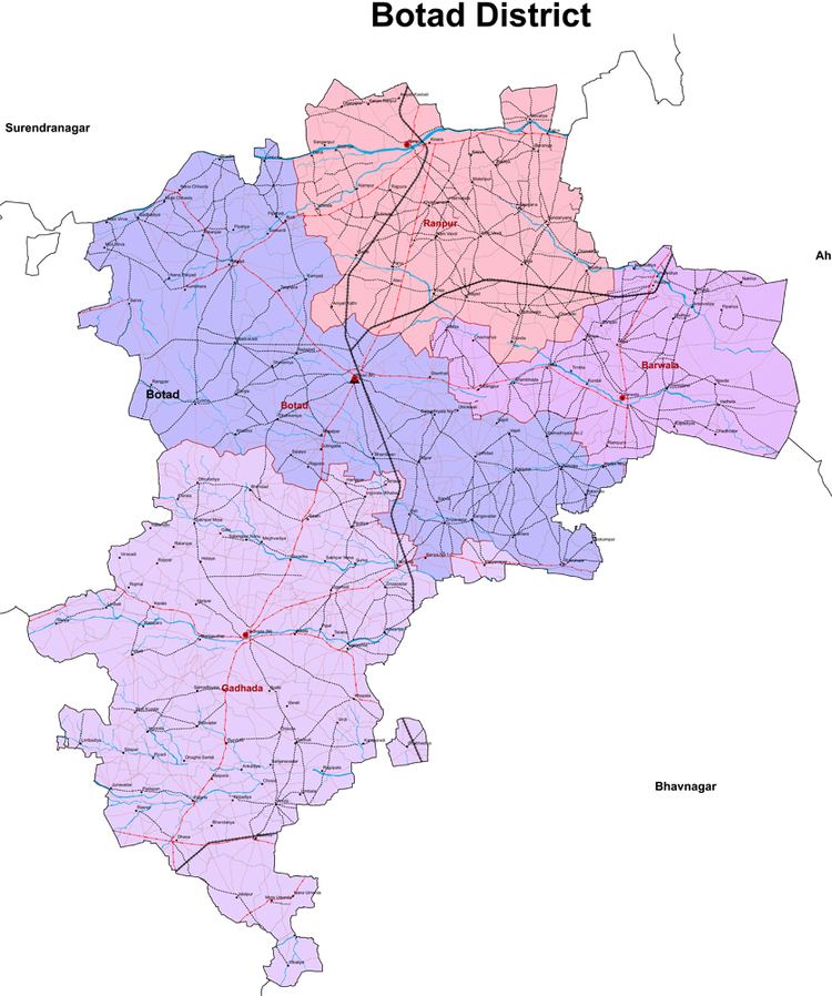
Botad District (Gujarati: બોટાદ જિલ્લો) is a district of the state of Gujarat, India. It was created on 15 August 2013 from the southwestern part of Ahmedabad District and the northwestern part of Bhavnagar District. Botad consist of four taluka Botad, Gadhada, Barvala, Ranpur. Botad city is the administrative headquarters of the district.
Contents
This district is surrounded by Bhavnagar District to the southeast, Surendranagar District to the north and northwest, Amreli District to the southwest, Ahmedabad District to the northeast and Rajkot District to the west.
Botad District consists of four talukas:
- Botad,
- Gadhada,
- Barvala,
- Ranpur
Digital cassless awareness trainig vle to citizen botad district
Demographics

The district had a population of 652,556 according to the 2011 census, with an area of 2,564 square kilometres (990 sq mi) and a population density of 255 per square kilometre.