
Micro-region Santo Ângelo Postal code 97850-xxx Population 6,873 (2015) | Time zone BRT (UTC-3) Area 1,611 km² Local time Thursday 5:14 PM | |
 | ||
Website www.bossoroca.rs.gov.br Weather 31°C, Wind N at 11 km/h, 60% Humidity | ||
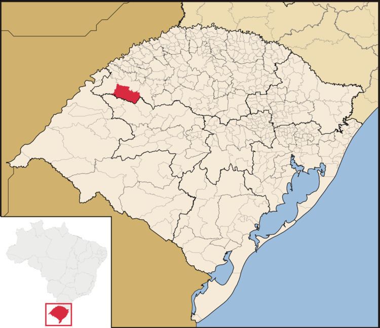
Bossoroca is a municipality of the western part of the state of Rio Grande do Sul, Brazil. The population is 6,873 (2015 est.) in an area of 1610.57 km². The name comes from the Guarani language, and may mean erosion. It is located 524 km west of the state capital of Porto Alegre, northeast of Alegrete.
Contents
Map of Bossoroca, RS, Brazil
Bounding municipalities
History
The area was first inhabited by the Guarani tribes. In the 17th and 18th centuries, Jesuit missions were established in the area. The municipality of Bossoroca was created on March 4, 1967.
References
Bossoroca Wikipedia(Text) CC BY-SA