
OS grid reference TR1548 | Sovereign state United Kingdom Local time Thursday 8:11 PM | |
 | ||
Weather 6°C, Wind SW at 18 km/h, 75% Humidity | ||
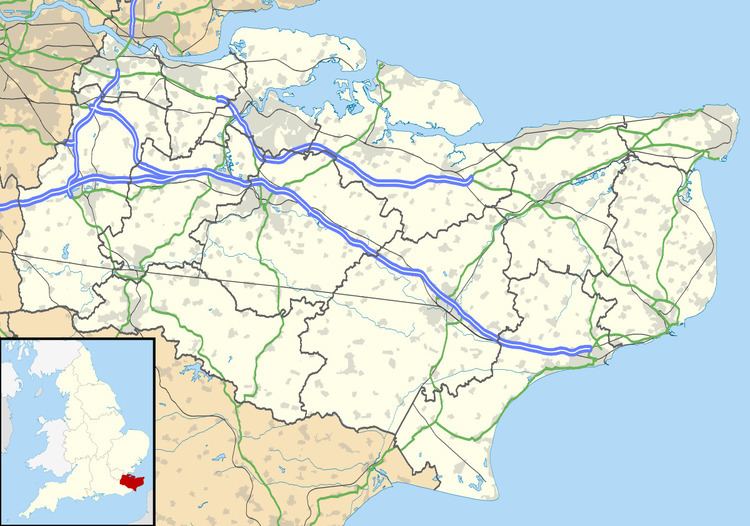
Bossingham is a large hamlet in the City of Canterbury District of Kent, England. It is located about five miles (8 km) south of Canterbury, and 2 miles (3.2 km) north of Stelling Minnis on a parallel road to the Roman road of Stone Street (the B2068 road).
Map of Bossingham, Canterbury, UK
There is one public house – the Hop Pocket, named after the large sacks in which hops were transported.
References
Bossingham Wikipedia(Text) CC BY-SA