
Country United States FIPS code 27-07030 Elevation 276 m Zip code 56519 Local time Thursday 11:48 AM | Time zone Central (CST) (UTC-6) GNIS feature ID 0640389 Area 65 ha Population 107 (2013) Area code 218 | |
 | ||
Weather -11°C, Wind N at 21 km/h, 43% Humidity | ||
Borup is a city in Norman County, Minnesota, United States. The population was 110 at the 2010 census.
Contents
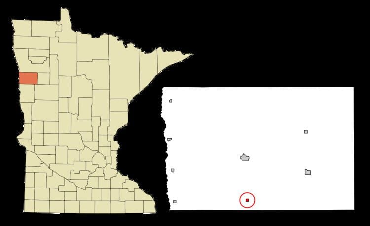
Map of Borup, MN 56519, USA
The city was named for Charles William Wulff Borup, a Minnesota banker.
History
A post office called Borup has been in operation since 1896.
Geography
According to the United States Census Bureau, the city has a total area of 0.25 square miles (0.65 km2), all of it land.
Minnesota State Highway 9 serves as a main route in the community.
2010 census
As of the census of 2010, there were 110 people, 37 households, and 27 families residing in the city. The population density was 440.0 inhabitants per square mile (169.9/km2). There were 51 housing units at an average density of 204.0 per square mile (78.8/km2). The racial makeup of the city was 97.3% White, 1.8% Native American, and 0.9% from two or more races. Hispanic or Latino of any race were 5.5% of the population.
There were 37 households of which 40.5% had children under the age of 18 living with them, 62.2% were married couples living together, 10.8% had a female householder with no husband present, and 27.0% were non-families. 21.6% of all households were made up of individuals and 8.1% had someone living alone who was 65 years of age or older. The average household size was 2.97 and the average family size was 3.63.
The median age in the city was 28.8 years. 37.3% of residents were under the age of 18; 7.2% were between the ages of 18 and 24; 20.9% were from 25 to 44; 21.8% were from 45 to 64; and 12.7% were 65 years of age or older. The gender makeup of the city was 52.7% male and 47.3% female.
2000 census
As of the census of 2000, there were 91 people, 38 households, and 22 families residing in the city. The population density was 372.7 people per square mile (146.4/km²). There were 50 housing units at an average density of 204.8 per square mile (80.4/km²). The racial makeup of the city was 86.81% White, 2.20% Native American, 2.20% Asian, and 8.79% from two or more races.
There were 38 households out of which 28.9% had children under the age of 18 living with them, 57.9% were married couples living together, 2.6% had a female householder with no husband present, and 39.5% were non-families. 39.5% of all households were made up of individuals and 10.5% had someone living alone who was 65 years of age or older. The average household size was 2.39 and the average family size was 3.26.
In the city, the population was spread out with 27.5% under the age of 18, 9.9% from 18 to 24, 26.4% from 25 to 44, 20.9% from 45 to 64, and 15.4% who were 65 years of age or older. The median age was 36 years. For every 100 females there were 116.7 males. For every 100 females age 18 and over, there were 135.7 males.
The median income for a household in the city was $41,042, and the median income for a family was $41,875. Males had a median income of $32,083 versus $22,083 for females. The per capita income for the city was $17,081. None of the population or the families were below the poverty line.