
Area 49.98 km² Local time Thursday 6:26 PM | Elevation 195 m | |
 | ||
Weather 9°C, Wind W at 21 km/h, 41% Humidity | ||
Mmsr cc borsk mikul 2016 rswr onboard
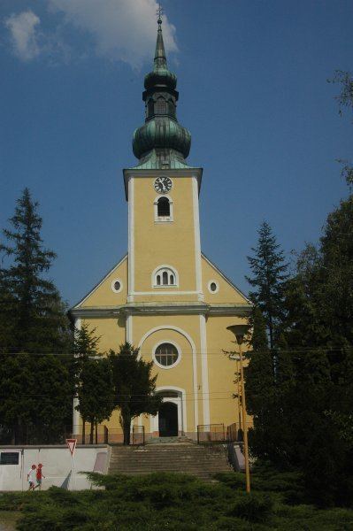
Borský Mikuláš ([ˈborskiː ˈmikulaːʃ]; German: Bur-Sankt-Niklas, Hungarian: Búrszentmiklós) is a large village and municipality in Senica District in the Trnava Region of western Slovakia.
Contents
- Mmsr cc borsk mikul 2016 rswr onboard
- Map of 908 77 BorskC3BD MikulC3A1C5A1 Slovakia
- Borsk mikul
- History
- Geography
- People
- References
Map of 908 77 Borsk%C3%BD Mikul%C3%A1%C5%A1, Slovakia
Borsk mikul
History
In historical records the village was first mentioned in 1394.
Geography
The municipality lies at an altitude of 198 metres and covers an area of 49.982 km². It has a population of about 3,879 people.
People
References
Borský Mikuláš Wikipedia(Text) CC BY-SA