
Country Ireland County County Tipperary | Province Munster Time zone WET (UTC+0) | |
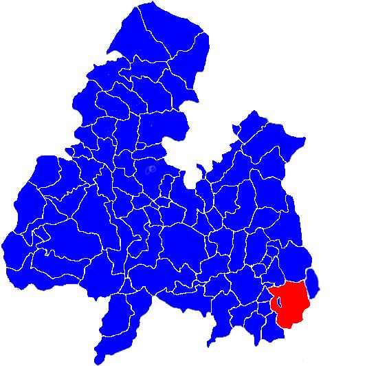 | ||
Borrisleigh (also known as Two-Mile Burris) is a civil parish in the barony of Eliogarty, County Tipperary.
Contents
- Map of Borrisoleigh Co Tipperary Ireland
- Townlands in the civil parish
- Derivation of Placename
- References
Map of Borrisoleigh, Co. Tipperary, Ireland
The river Liscaveen forms some of the boundary between it and the parish of Ballymoreen; Borrisleigh contains within it an enclave belonging to the latter parish, comprising the townland of Rathcunikeen. While the presence of this enclave is unusual, the parish is unusual for another reason - two of its own townlands, Borris and Noard, have several exclaves scattered throughout the parish.
Townlands in the civil parish
The parish comprises 7988 statute acres and is divided into nineteen townlands:
According to Lewis, in 1837 the Church of Ireland living was a rectory in the diocese of Cashel, formed at a time earlier than extant records by uniting the vicarages of Boly or Galvoly and Drom with the chapelry of Leogh. However, Lewis may be confused, since the civil parish of Galbooly, which touches Borrisleigh on the west, is also known as Boly or Galvoly.
There are two villages in the parish: Two-Mile Borris and Littleton.
Derivation of Placename
The English-language name Borrisleigh is derived from the Irish-language Buiríos Léith, as is the last word in the alternative English-language name for the parish, Two-Mile Burris.