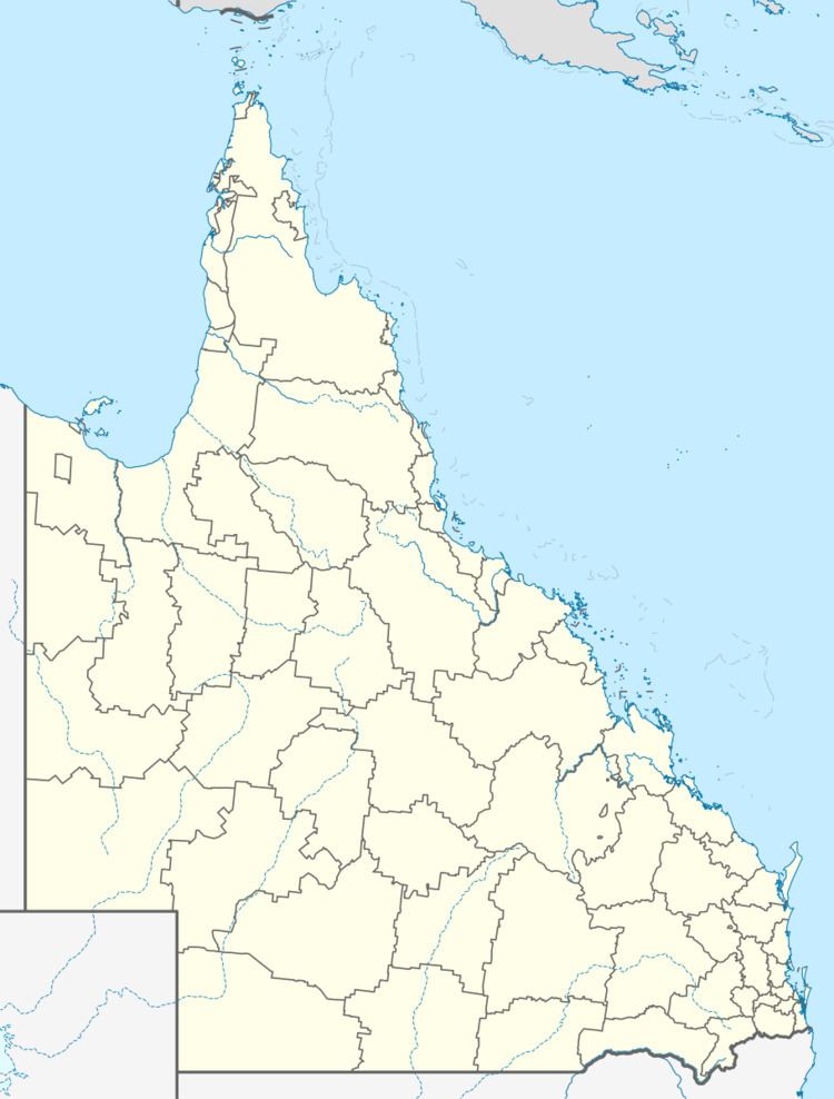
Population 417 (2011 census) State electorate(s) Burnett Postal code 4678 Lga Gladstone Region | Postcode(s) 4678 Bororen Eurimbula Local time Friday 2:25 AM Federal division Division of Flynn | |
 | ||
Weather 24°C, Wind SE at 10 km/h, 89% Humidity | ||
Bororen is a town and locality in the Gladstone Region, Queensland, Australia. In the 2011 census, Bororen had a population of 417 people.
Contents
Map of Bororen QLD 4678, Australia
Geography
The Bruce Highway passes through both the town and the locality.
History
Bororen Post Office opened 2 June 1898; a receiving office had been open since about October 1897.
Bororen Provisional School opened on 22 January 1900. It became a State School in 1909.
In about 1995, a war memorial was unveiled on the Bruce Highway, Bororen (24.243016°S 151.496029°E / -24.243016; 151.496029 (Bororen War Memorial)). It commemorates those servicemen and women who served in World War I and World War II.
Education
Bororen State School is a government co-educational primary (P-7) school located at 1 Kent Street. In 2013, the school had 47 students and 4 teachers (2 full-time equivalent).
