
Peak Borgetinde Width 17 km (11 mi) E/W Elevation 3,265 m | Length 57 km (35 mi) N/S | |
 | ||
Borgtinderne, meaning 'Castle Pinnacles' in the Danish language, is a mountain range in King Christian IX Land, eastern Greenland. Administratively this range is part of the Sermersooq Municipality.
Contents
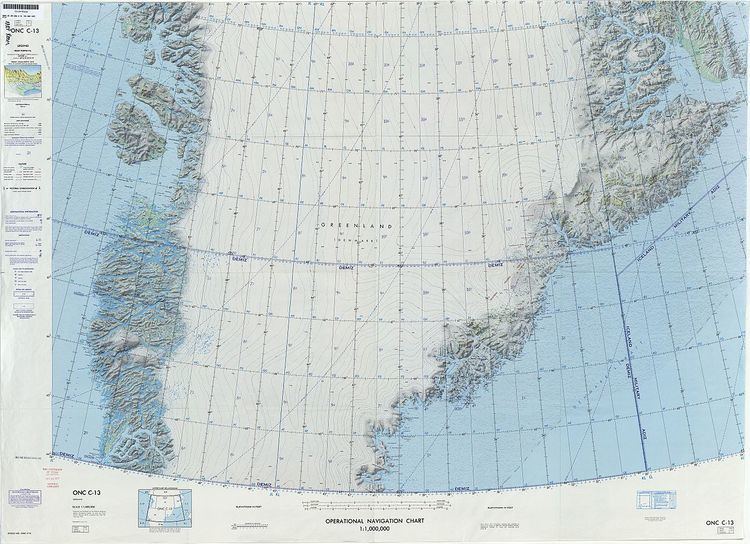
Map of Borgtinderne, Greenland
Geography
The Borgtinderne is a long nunatak with high mountains. It is located east of the Ejnar Mikkelsen Range, between the Borggraven Glacier on its eastern and the Kronborg Glacier on its western side. The southern end of the range reaches the coast. The area of the Borgtinderne is uninhabited.
Mountains
The highest point is Borgetinde, a mountain which has a wide reputation among alpinists and which is the easternmost 3,000 m (9,800 ft) summit of Greenland and greater North America.
Climate
Tundra climate prevails in the region. The average annual temperature in the area of the range is -12 °C. The warmest month is July when the average temperature reaches 0 °C and the coldest is February when the temperature sinks to -21 °C.