
Admin. region Detmold Time zone CET/CEST (UTC+1/+2) Local time Thursday 1:15 PM | District Gütersloh Postal codes 33829 Population 8,620 (31 Dec 2010) | |
 | ||
Weather 5°C, Wind W at 34 km/h, 87% Humidity Points of interest Bauer Bernd, Schloss Brincke, Johannisegge | ||
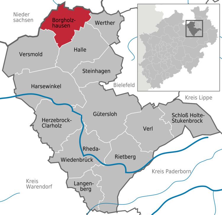
Borgholzhausen is a town in the district of Gütersloh in the state of North Rhine-Westphalia, Germany. It is located in the Teutoburg Forest, approx. 20 km north-west of Bielefeld.
Contents
Map of 33829 Borgholzhausen, Germany
Borgholzhausen is a sister city to New Haven, Missouri in the Missouri Rhineland of the United States.
Geography and early history
Borgholzhausen lies in the middle of a clearing in the Teutoburg Forest, on the northern edge of the Westphalian Lowland. The mountain range bisects the town's area roughly NW-SE, and is in turn bisected by the mountain pass at which the town of Borgholzhausen was founded. The mountainous part of the Borgholzhausen area generally reaches heights of 200–300 meters ASL, while the pass area and other lower-lying parts are at less than half that elevation.
The town centre is about one kilometer east of Mount Johannisegge and south of Mount Hankenüll. Thus, the northern parts of Borgholzhausen are located in the Ravensberg Hills, while the south is in the Münsterland. The bedrock in the former part is a thick layer of mainly Cretaceous sediments, while the latter has a less thick layer of generally Mesozoic rocks covering the rump of a Paleozoic mountain range.
The Borgholzhausen pass was an important route for crossing the Teutoburg Forest in Bronze Age times. As early as 1,500 BC, there was extensive settlement in the pass area. Numerous urnfield cemeteries have been unearthed in and around the town.