
Population 212 (2011 census) Postcode(s) 2652 Postal code 2652 | Established 1910 LGA(s) Federation Council Founded 1910 Local time Thursday 10:34 PM | |
 | ||
Location 541 km (336 mi) from Sydney85 km (53 mi) from Wagga Wagga15 km (9 mi) from Kywong7 km (4 mi) from Yuluma Weather 25°C, Wind E at 13 km/h, 47% Humidity | ||
Trout hole boree creek orange nsw australia
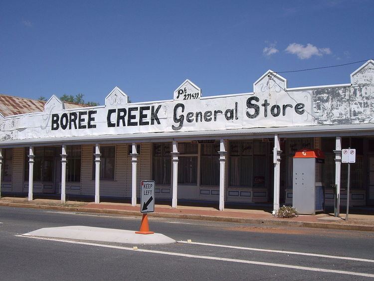
Boree Creek /bɒˈriː.kriːk/ is a town in the Riverina district of New South Wales, Australia. The town is located 539 kilometres (335 mi) south west of the state capital, Sydney and 82 kilometres (51 mi) west of the regional centre, Wagga Wagga. Boree Creek is situated in the Federation Council local government area but is closer to the town of Lockhart. At the 2011 census, Boree Creek and the surrounding area had a population of 212.
Contents
- Trout hole boree creek orange nsw australia
- Map of Boree Creek NSW 2652 Australia
- Boree creek where the heck is it
- References
Map of Boree Creek NSW 2652, Australia
Boree Creek Post Office opened on 1 August 1884 (it was closed between 1906 and 1911).
Like many of the smaller towns of the Riverina, it has seen its population decline in recent years. Boree Creek is most famous for being the home town of former Deputy Prime Minister Tim Fischer. At times when Fischer was acting as Prime Minister, his property at Boree Creek became the "seat of power" of Australia.
Boree Creek is the last operating section of the mostly closed railway to Oaklands. Seasonal grain trains service the silos, the station closed to passenger services in 1975 and little trace remains.