
 | ||
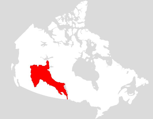
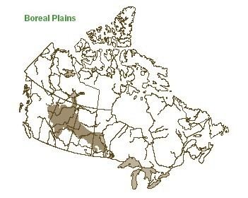
The Boreal Plains Ecozone, as defined by the Commission for Environmental Cooperation (CEC), is an ecozone in the western Canadian provinces of Manitoba, Saskatchewan and Alberta. It also has minor extensions into northeastern British Columbia and south-central Northwest Territories.
Contents
Industry in this ecozone once consisted primarily of forestry and agriculture, but in 1967 the Great Canadian Oil Sands Limited began extracting bitumen from the Athabasca oil sands. Operations there have expanded significantly since 2003, and the oil sands are becoming an increasingly significant economic factor in the region.
Wood Buffalo National Park, the largest national park in Canada, and Whooping Crane Summer Range, the only nesting and breeding area for the critically endangered whooping crane, are both located in the northern portion of this ecozone.
Geography
Overlaying a bedrock of Cretaceous shale and Tertiary sediments are thick deposits of soil that form a flat terrain in the Interior Plains. It borders the Montane Cordillera to the west, closely following the border between Alberta and British Columbia. To its south is the Prairies ecozone for its entire extent, while to the north are the Taiga Plains, with its northeastern periphery adjacent to the Taiga Shield. 20 sub-region are located within the ecoregion.
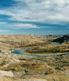
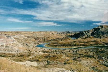
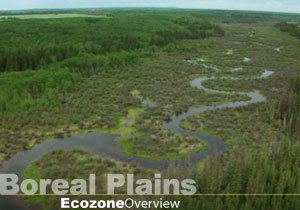
Covering 650,000 square kilometres (250,000 sq mi), it is a region of subdued relief with few lakes. However, meltwater from glacial retreat between 11,000 and 8,000 years ago resulted in extensive deltas and dunes, forming Lake Winnipegosis at the eastern end of this zone. It is a remnant of Lake Agassiz, a large glacial lake. Most rivers originate in the Rocky Mountains, flowing eastward through the zone.
Oil, Forestry, and agriculture are the largest industries. The region is nearly covered by timber, about 84% of the region, The Athabasca oil sands area around 141,000 square kilometres (54,000 sq mi) of land. Agriculture takes place mainly in the Peace River Country in Alberta and British Columbia. This can employ up to 20% of the land area, though it is typically less than that. Large communities include, Fort St. John, Grande Prairie, Fort McMurray, Hayriver, La Ronge, and The Pas.
Climate
Lying east of the Rocky Mountains, the region experiences low precipitation, averaging 450 millimetres (18 in) annually, with 300 millimetres (12 in) in the west and 650 millimetres (26 in) in the east. However, this is greater than the rate of evaporation by over 100 millimetres (3.9 in) in the south, and 300 millimetres (12 in) in the north and at the foothills of the Rockies. The excess moisture promotes the development of wetlands and peat bogs, which account for between 25-50% of the ecozone's area.
Summers are moderately warm, with mean July temperatures of 13 to 15 °C (55 to 59 °F), whereas winters may be very cold, with mean January temperatures of −17.5 to −11 °C (0.5 to 12.2 °F).
Protected areas
Within this ecozone are a number of protected areas. These include: