
Country Algeria Climate BSk Postal code 34000 Team CA Bordj Bou Arréridj | Elevation 928 m (3,045 ft) Area 81.1 km² Local time Thursday 12:11 PM | |
 | ||
Weather 17°C, Wind SW at 13 km/h, 37% Humidity Province | ||
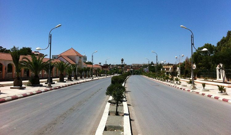
Bordj Bou Arréridj (Arabic: برج بوعريريج) population 140,000 (2005 estimate), is the capital city of Bordj Bou Arréridj Province, Algeria. It is situated 148 miles by road east of Algiers, near the Hodnar Massif in the southern Kabylie Mountains, at an elevation of 916 metres.
Map of Bordj Bou Arreridj, Algeria
The economy is largely based upon agriculture and forestry, with some small-scale industries. Bordj Bou Arréridj is well-connected to other urban centres by road and rail. The cities of Setif and Bouira are 70 km east and 115 km northwest, respectively. CA Bordj Bou Arreridj (CABBA) is a 1st Level Algerian professional football club based in town; its home grounds are 20 August 1955 Stadium in Mohamed Belouizdad.
References
Bordj Bou Arréridj Wikipedia(Text) CC BY-SA