
 | ||
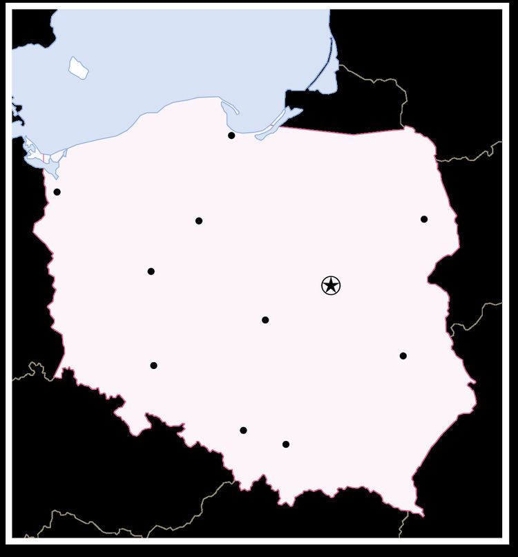
The Borders of Poland are 3511 or 3582 kilometers long. The neighboring countries are Germany to the west, the Czech Republic and Slovakia to the south, Ukraine and Belarus to the east, and Lithuania and the Russian province of Kaliningrad Oblast to the northeast. To the north, Poland is bordered by the Baltic Sea.
Contents
Breakdown of border lengths per entity
- Czech Republic-Poland border: 796km or 790km
- Poland-Slovakia border: 541km or 539km
- Poland-Ukraine border: 535km or 529km
- Germany-Poland border: 467km
- Belarus-Poland border: 418km or 416km
- Poland-Russia border (Kaliningrad Oblast): 210km
- Lithuania-Poland border: 104km or 103km
- sea (Baltic Sea): 440km or 528km
Polish coastal line is 770km long.
Major border crossings
After accession of Poland to the European Union in 2004, border crossings with EU states (Germany, Czech Republic, Slovakia and Lithuania) were made redundant. Infrastructure remains in place, but its systematic use and the controls are no longer allowed by the Schengen agreement.
Former
with Germany
- Świnoujście
- Kołbaskowo
- Kostrzyn nad Odrą
- Świecko
- Gubin
- Olszyna
- Zgorzelec
with the Czech Republic
- Jakuszyce (district of Szklarska Poręba)
- Kudowa-Słone
- Chałupki
- Cieszyn
with Slovakia
with Lithuania
Historically, Poland also had borders (and border crossings) with former countries, or with countries that no longer share a common border with Poland:
Current
with Ukraine
with Belarus