
Population 164 (2006 census) Postcode(s) 6338 Founded 1912 Local time Tuesday 8:56 AM | Established 1912 State electorate(s) Wagin Postal code 6338 | |
 | ||
Location 325 km (202 mi) from Perth111 km (69 mi) from Albany Weather 19°C, Wind SW at 10 km/h, 81% Humidity | ||
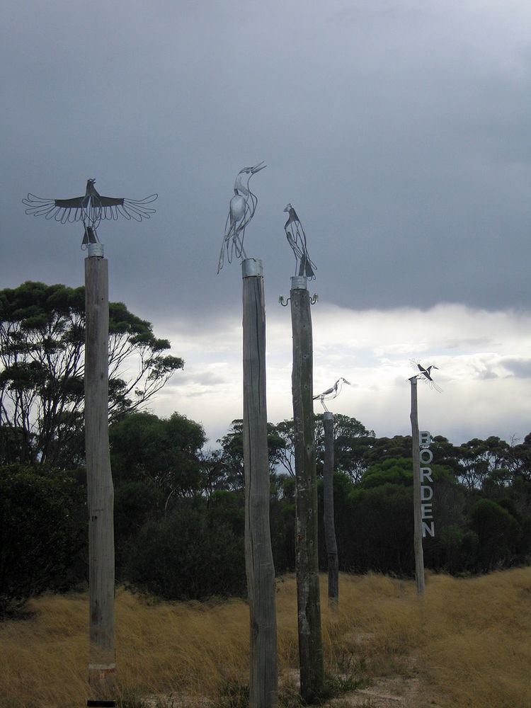
Borden is a small town in the Great Southern region of Western Australia. The town is located 325 kilometres (202 mi) south east of the state capital, Perth and 111 kilometres (69 mi) north of Albany, Western Australia on Chester Pass Road. At the 2006 census, Borden and the surrounding area had a population of 164.
Map of Borden WA 6338, Australia
The town was established as a siding on the railway line between Gnowangerup and Ongerup and is named after Canadian Prime Minister Robert Laird Borden. The railway opened for business on 6 January 1913 and closed on 13 October 1957.
The local Agricultural Hall, constructed of Jarrah and cast iron, was opened in 1928 by the Minister of Lands, Mr. Michael H. Troy. Local members Mr. H. Stewart MLC and Mr. C. Wittenoom MLA were also present.
The main industry in town is wheat farming with the town being a Cooperative Bulk Handling receival site.